Digital mapping tools, my use in 2026
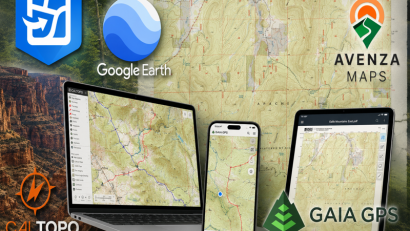
State of the union for my mapping tool usage. Read More …
State of the union for my mapping tool usage. Read More …
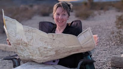
A collection of my Reddit posts. cleaned up and expanded, with thoughts on how maps, compasses, and GPS all work together in the field. It’s not about which tool is “better,” but how they complement each other. Read More …
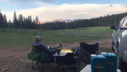
Designated sites can be practical. But Joan and I prefer dispersed sites for our camping. Here are some ideas on how to find dispersed (free) campsites. Read More …

Avenza allows small companies and non-profits to publish their maps. He’s a look at this somewhat obscure app. Read More …
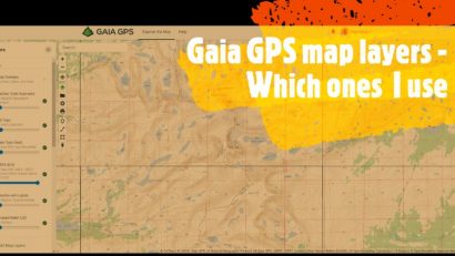
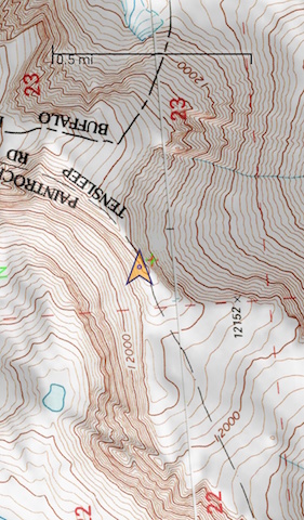
The various map layers I use for Gaia GPS. And some lesser-known overview map print options that complement any GPS use, too. Read More …

The “Lat 40” maps are a good tool in my trip planning kit for the Moab and nearby area. Read More …
A free and useful and alternative for AllTrails. Read More …
A practical, useful, and outstanding gear pick for maximizing your outdoor time. Read More …
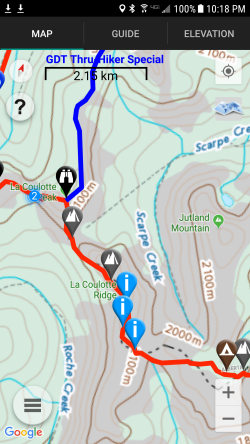
A review of the Atlas Guides (Guthook) Great Divide Trail app for Android and iOS-based devices. More than just navigation, it works as a guidebook, too. Read More …
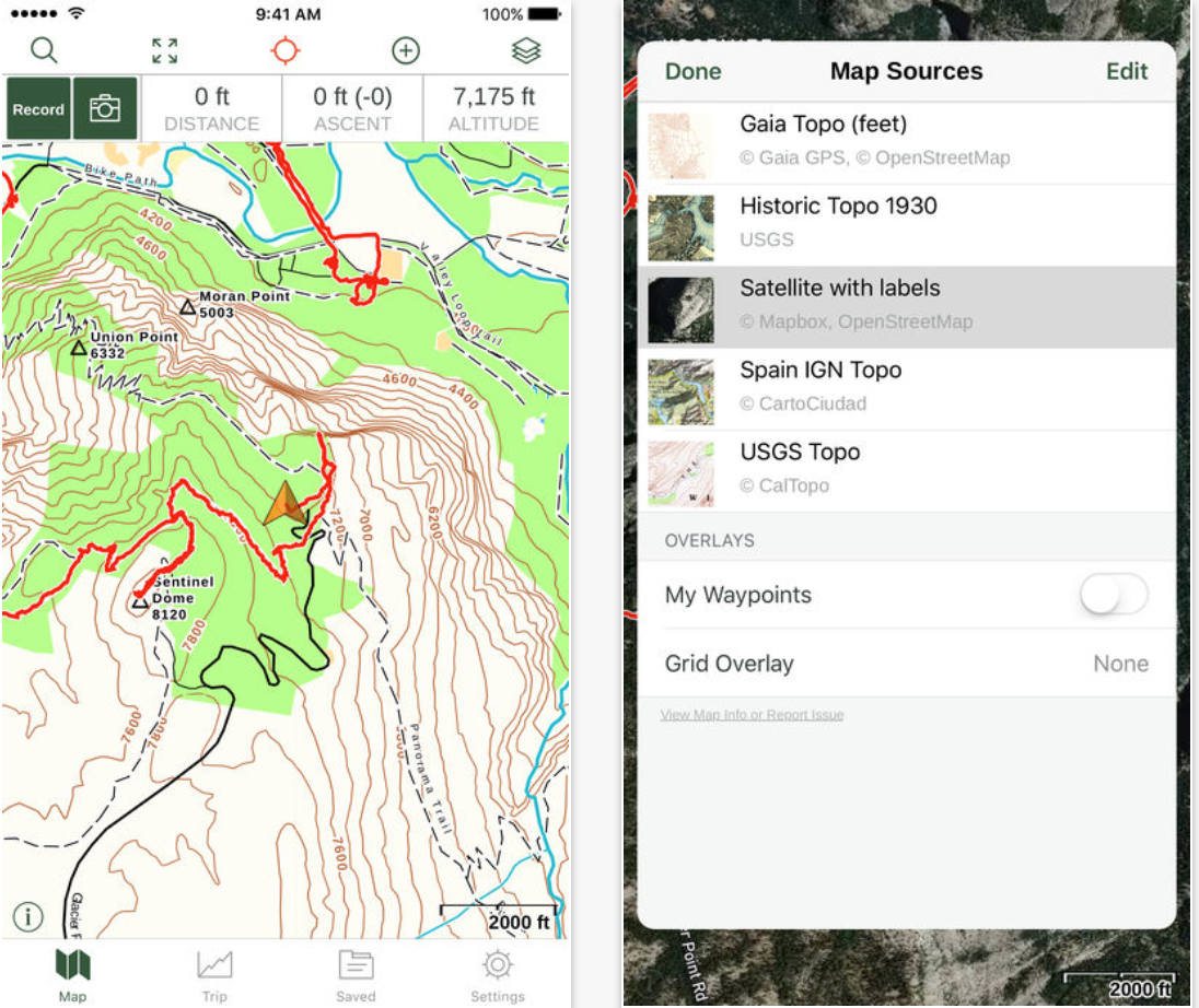
A review of the Gaia GPS app for Android and iOS-based devices. A powerful, flexible, and easy to use navigation tool. Read More …
The Google Maps satellite view is a very useful tool for trip planning. At least it has been for me. Read More …
Been a bit busy. But a mental reset should let the creative juices flow a bit again.
Read More …

A local map store closed. Some thoughts on what I think it reflects among current outdoor trends and skill sets. Read More …
The death of maps are greatly exaggerated. Here’s why. Read More …
A simple and effective map cover to keep your printed maps protected while outdoors. Read More …
A review of Backcountry Navigator and gps/mapping software in general. Read More …
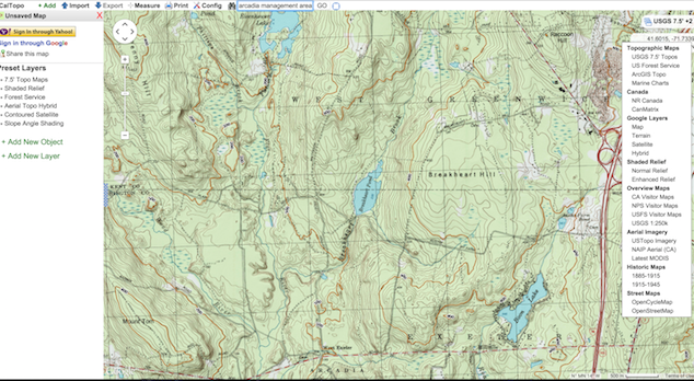
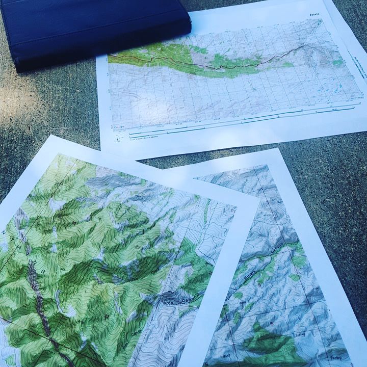
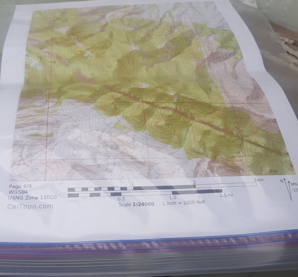
A great website for that essential of backcountry navigation – maps! Read More …
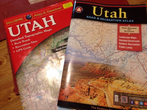
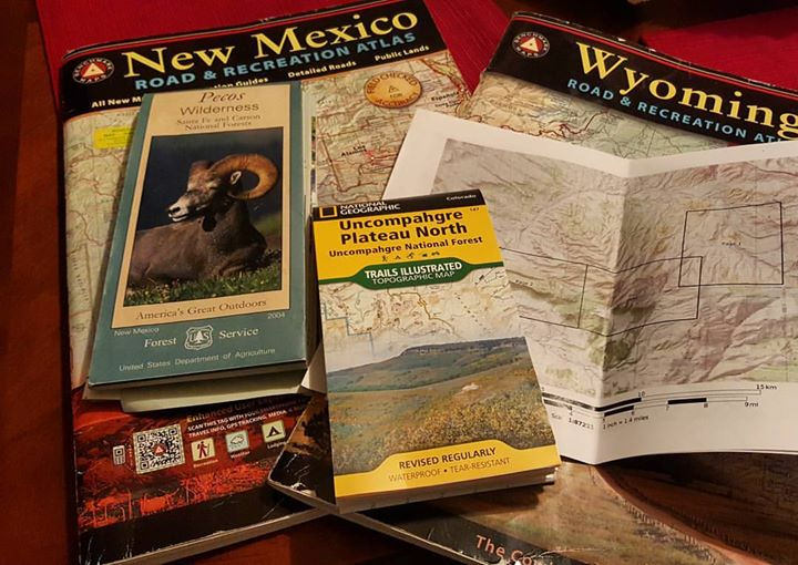
There are two standards for backcountry road navigation. The Delorme Atlas and Gazetteer and the Benchmark Road and Recreation Atlas. Which is better? Read More …