I love maps. Maps are my favorite piece of gear by leaps and bounds. With maps, I can plot out new routes, and my daydreams start forming a reality.
And even with digital resources, I still love maps. The forms and use of maps might change, but they are not going away.
And different maps have different uses. I love my Benchmark Atlas for a broad overview, dispersed camping, and scoping out potential access points.
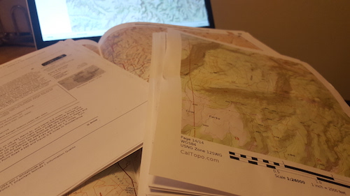
And I’ll plot out routes, print out more detailed maps, and save to my phone with CalTopo or Gaia GPS.
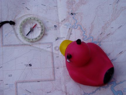
Used by the Devil Duck, too!
But what about the in-between maps for more detailed planning for even hiking in the field?
Traditionally I’d use NatGeo or similar if available. Easy to read, good for on-trail hiking, and perfect for fitting on a kitchen table to look over with friends or a partner.
But I found the immediate Moab area (and the nearby La Sal mountains) NatGeo maps lacking
Both hiking and bike trails obviously in use for a while are not located on the maps. And sometimes road information is missing. Not particularly useful! Sometimes an obscure single track MTB trail makes a helpful path, never mind a hiking trail.
Well, I then remembered the Latitude 40 series of maps. Commonly called “Lat 40″, these maps fill a niche for a more extensive overview that is good enough for on-trail hiking, too.
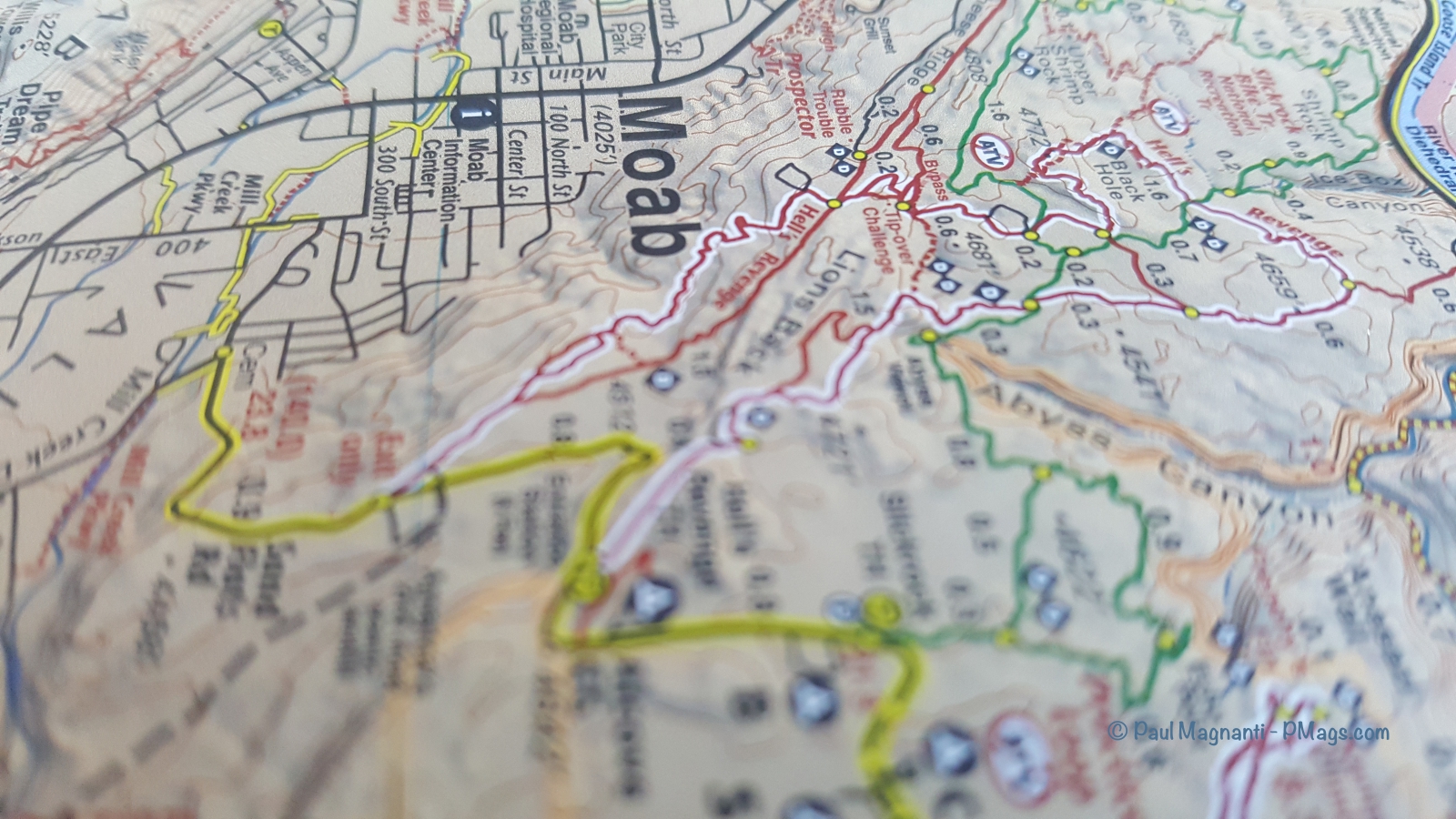
Lat 40 maps are accurate, contain updated information, an intermediate scale, and useful for initial planning. And, if you stick to trails, you can use them for hiking (and mountain biking, too).
Which Lat 40 Moab maps to get?
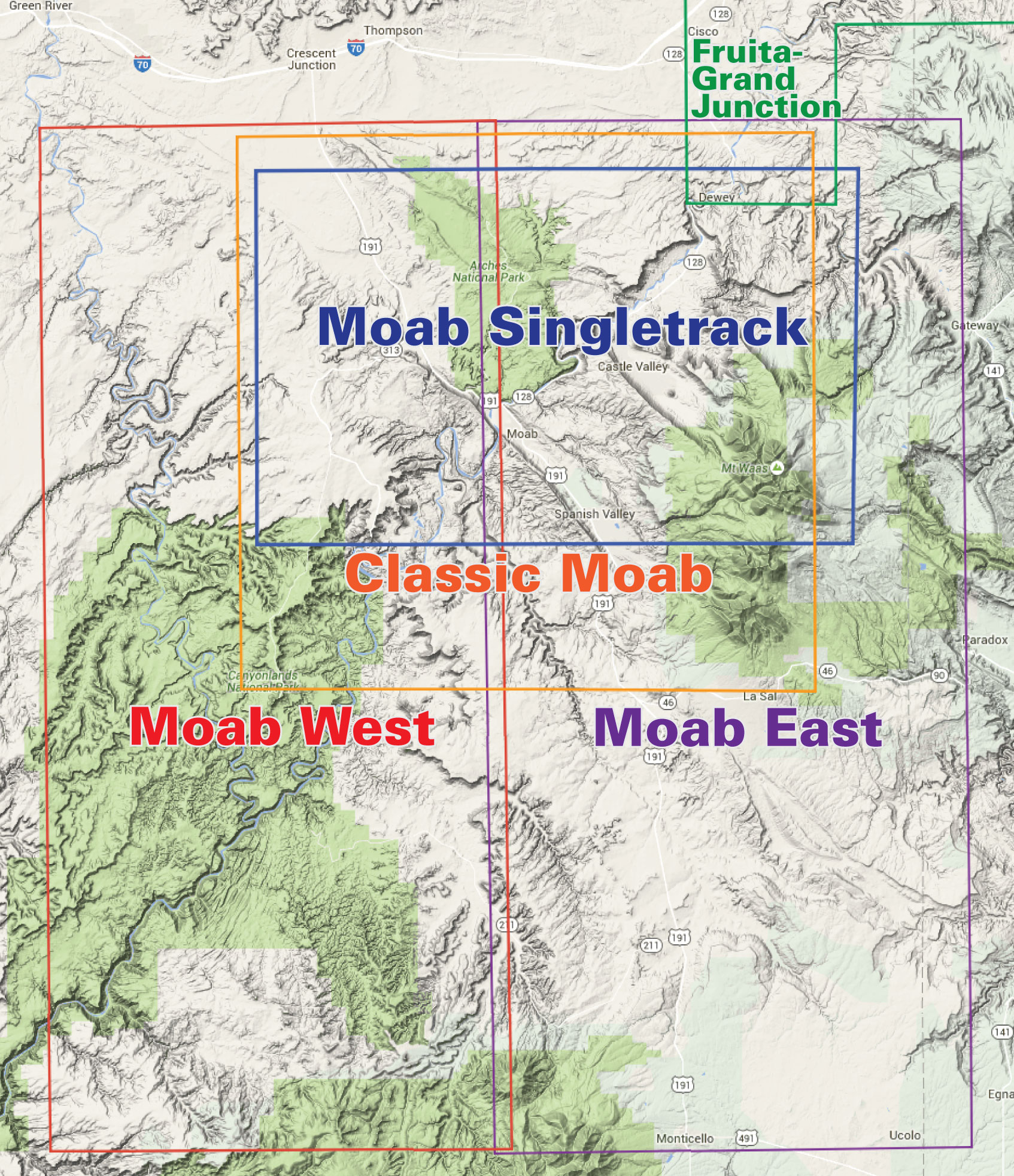
From Latitude 40
- If you are exploring the immediate Moab area (Arches NP, Island in the Sky District of Canyonlands, Dead Horse Point State Park, nearby La Sals, etc.), spend $14 and get the Classic Moab Map.
- If you wish to explore more extensively outside of the immediate Moab area and also see yourself in the Moab area frequently, the Moab West and Moab East maps are worth the $30 total investment. I have a copy of the maps on my kitchen table as I type this article.
- If you are mountain bike focused, the Moab SIngle Track Map would be useful. I am not a mountain biker, and I did not look at this map specifically, so I can’t describe the differences vs. the other maps from first-hand use.
Already in town and would rather not order them online? Moab Gear Trader has them in stock along with a selection of other outdoor goodies and some needed last-minute items such as fuel canisters (Note: I briefly worked there over the holidays before starting my guiding gig)
If you hike off-trail, or even if you need or want more topographic detail, other map sources such as the various layers found in CalTopo or Gaia GPS will be of better use.
However, I am finding the Lat 40 maps to be an excellent tool in my kit for planning out trips here in Moab and nearby areas.
Disclosure: I purchased the Lat 40 maps with my funds.