
For years my mapping workflow settled into a set pattern.
- CalTopo desktop for planning.
- Google Earth for virtual ground truthing and understanding the landscape.
- Gaia GPS for mobile use in the field.
- Avenza for georeferenced PDFs and specialty maps.
- Paper maps and compass always part of the mix.
Now? The mapping app landscape feels very different.
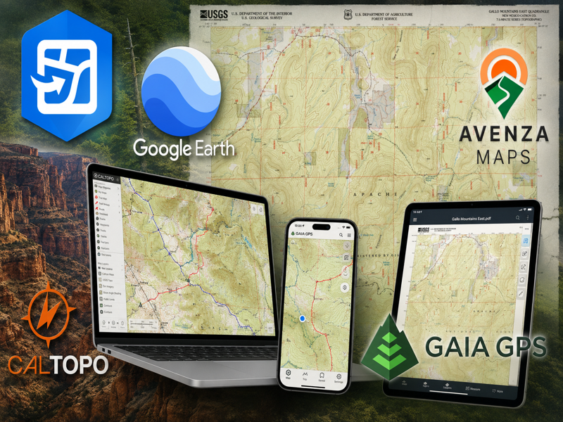
Gaia GPS continues its march toward enshittification, most recently by dropping NatGeo map layers ; a major selling point for a lot of users.
Goat Maps looked like a way forward for a while. One of the original Gaia developers worked on it, and it felt like what a modern backcountry navigation app should be: mobile-friendly, better base maps, cleaner than CalTopo on a phone.
Developer Jesse Crocker recently announced it shuts down at the end of December 2026. Subscriptions stopped renewing. The app is already gone from the App Store.
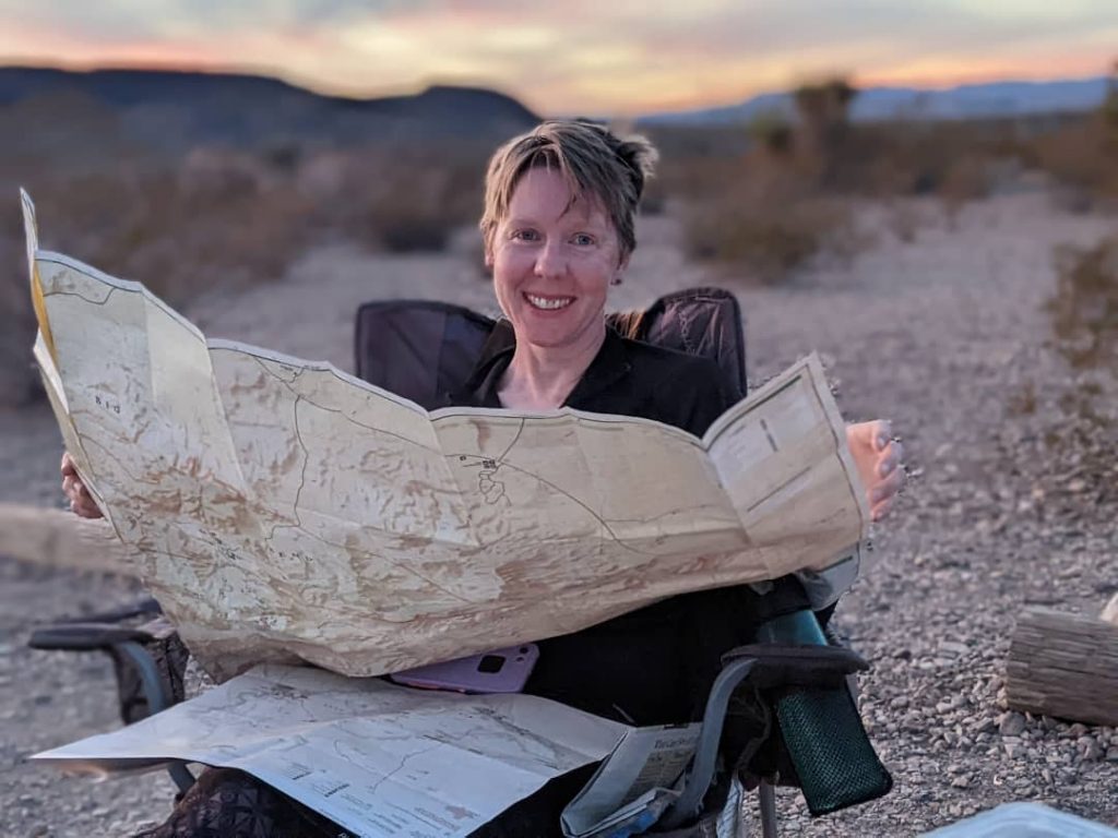
So where does that leave me?
Google Earth and CalTopo desktop remain the backbone of my route planning. Google Earth is still unmatched for understanding terrain and virtual ground truthing: visualizing canyon systems, seeing how landscapes connect, getting a feel for a place before heading out. CalTopo remains the best route planning platform for complex trips: off-trail travel, layered data, long-distance route creation. No serious competitor there.
The mobile side is a different story.
CalTopo’s app has base maps I don’t love, a UI that feels clunky, and struggles with larger datasets. Even the desktop version has gotten busier and I’m not the only longtime user who noticed, judging by reactions to recent UI changes among the long-time Search and Rescue (SAR) user base.
And if you’re on a legacy desktop subscription, expect a significant price increase when the transition period ends. Software costs money. But it’s another reminder that enthusiast-focused tools tend to become something else once growth enters the picture. CalTopo now has brand ambassadors with an increased social media presence. I’ve seen this movie play out before.
Avenza got purchased by a vulture capital company. The map store used by nonprofits, small map companies, and government agencies is going away. Georeferenced maps are now subscription-gated.
Gaia I still use the way some people use Microsoft Office or Adobe Creative Suite; not because I love it, but because it works for a specific workflow and feature set esp. in the field
What started as a lean backcountry navigation app now feels corporate and bloated. Useful features disappear. UI changes feel driven by product strategy rather than user experience. Longtime users increasingly adapt to the platform instead of the platform serving them.
I tried OnX. Didn’t care for it. The separate subscriptions for hunting, offroad, and backcountry already annoyed me, but the deeper problem is that the app is built for consuming destinations rather than studying terrain. I want to plan routes across old jeep roads, canyon systems, public land boundaries, and off-trail connectors. The landscape doesn’t recognize marketing demographics, and neither do I.
Topo Maps+ was the most interesting experiment. The base maps are excellent. The UI is clean and backcountry-focused. There’s a desktop web app in beta that shows promise. But once I loaded larger datasets and complicated folders, it fell apart. I tried every organizational workaround I could find and kept hitting the same wall. Aesthetically and philosophically it’s the closest thing to what I actually want. It just doesn’t hold up under my data load.
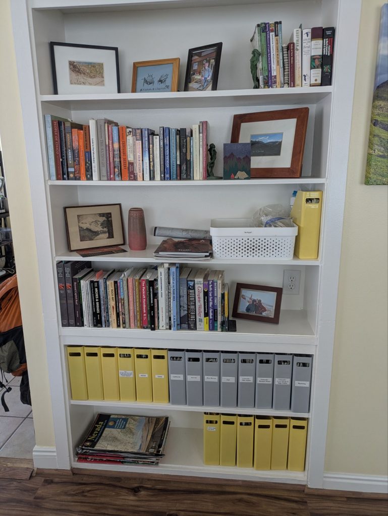
So my workflow today looks roughly like this:
- Google Earth for terrain visualization.
- CalTopo desktop for serious planning.
- Paper maps for the larger picture.
- Gaia or Avenza in the field, grudgingly, as appropriate.
- Field Maps for georeferenced PDFs. I already use it for a volunteer role. Other solutions work too.
The Avenza map store replacement is anyone’s guess. Probably some combination of open source, agency-hosted, and ad hoc solutions depending on who made what.
What I actually want is the base maps and UI of Topo Maps+, the desktop power of CalTopo, Gaia’s large dataset capacity, and the old Avenza map store for niche maps. All in one app, at a fair price, run by people who aren’t optimizing for growth at the expense of the users who built their reputation.
As a salty expression goes –
Wish in one hand, shit in the other. See which hand fills up first.
For what it’s worth I’m finding QField (https://qfield.org/) to be a reasonable free solution for working with GeoPDFs on Android. I’m totally pissed off with Avenza for limiting the number of GeoPDFs you can load even on a paid subscription – as they have zero impact on servers, that’s just a straight-up cash grab.
Have to check it out. I only used field maps as I already had it on my phone tbh.
Still bummed GoatMaps never put out an android app. I have over a decade of Gaia use and it just keeps getting shittier. Which is so disheartening. Spent the last year trying to use Onx and simply don’t enjoy it outside of backcountry skiing related mapping.
Yeah. The lack of an Android option did not help. OTOH it’s a one person shop.
Still looking for a Gaia replacement. Some people have kindly suggested some replacements here, by email, or other social media.
“Vulture” capitalists. How true that is.
As a frustrated ex-Gaia user (until it became totally enshittified) I can highly recommend Guru Maps (https://gurumaps.app/) as a replacement. • A lifetime license sells for the outrageous amount of something like $50 and is valid for all devices. • Works on iOS/iPadOS and that other mobile OS I shall not name. • No dedicated desktop app but the iPad app works on macOS. • Sync between devices is bulletproof and instantaneous (like CalTopo and very much unlike problem-infested Gaia). Has not failed me once in three years or so. • Comes with OSM-based maps, some of which are only… Read more »
I see you said it works with large data sets. A decade plus of tracks and way points in SE Utah is the sticky wicket. I’ll have to check it out. Thx!
My large datasets are JSON overlays, e.g. all protected areas in Spain and Portugal (created from shapefiles), all of Spains 13k picnic areas, 15k springs, 51k public drinking fountains (scraped from OSM) – you get the idea.
For your tracks and waypoints you’d use GPX. Mine are only temporarily in Guru and then go into Garmin Basecamp, soon to be replaced with QGIS. So I have no experience with how Guru handles years’ worth of those, but based on my experience with overlays: probably just fine.
Thanks for sharing your experience. I’ll have to check out your suggestion.
“Vulture” capital, I am going to start using that description. I am still in Gaia grief and dropped my Gaia subscription. Been trying to use Caltopo for everything. Getting more and more use to Caltopo, the addition of the trackup vs north up feature in the mobile app accelerated the transition. No mention of Farout (limited to select trails, and pay per trail model)?
I haven’t done a named route in many years and Far out came after that time period. I used it for the GDT in 2018 but other than that, everything I the past decade has been DIY routes, modified non-thru hikes of others (Jamal Green), or Brett Tucker’s NNML. No Far Out for those routes. 🙂 More seriously, I don’t have much experience with the app to give a meaningful summary as it’s something I’ve only used once about 8 yrs ago.
I found an ideal replacement for Avenza https://faenaoffline.com/maps/
The main loss for Avenza is the sunsetting of the map store. But I’ll have to check it out for sure.
I upload calibrated PDF maps to it. Free version allows for that (just one at a time for the free version). Works like Avenza in that way.
I have been using locus maps, https://www.locusmap.app/ and I have been pretty happy with it – mostly backcountry/off trail/hiking navigation in Alaska. YMMV. It can read mbtiles (https://gdal.org/en/stable/drivers/raster/mbtiles.html) files, which is nice for loading geopdfs and other stuff into it.
I’ll have to check it out. THank you!
Disclosure — I’m the developer of MapNero, so grain of salt. For the Avenza GeoPDF gap specifically: MapNero lets you import your own GeoPDFs/GeoTIFFs and use them offline on the free tier (up to 5 maps) — exactly the thing Avenza just removed from free. GPS tracking and KML/KMZ/GeoJSON import are free too. If you outgrow the free maps, Core ($34.99/yr) drops the cap and adds satellite basemaps + Shapefile/GeoPackage/CAD import. iOS now, Android in testing. Not a full Gaia route-planner, but for the Avenza slot — those BLM/USFS and small-org maps you mentioned — worth a look: mapnero.com (I’m… Read more »