
When I planned my Walk Across New England for fall 2025, one of the hardest segments to plan, oddly enough, was Rhode Island’s North-South Trail (NST).
With no official trail organization currently existing, and many older resources outdated or no longer available, I had to piece together information from disparate sources. Not a huge problem, but at this point in my hiking ‘career,’ I can cobble together a route from different resources fairly easily.
However, over the past year, I noticed that many people found this ~75-mile route confusing because no simple resources pulled everything together. And, frankly, I learned some things later that I wish I’d known!
- What maps do I need?
- Where do I find a good GPX track?
- How can I legally camp?
- Where can I park and get a shuttle?
- What about water? Resupply? Do I have to wear blaze orange? And when?
- What nearby side trips might be interesting?
With some time to spare, I decided to write a practical guide for this trail that runs through my home state.
It is not a guide full of lengthy trail descriptions, natural history, and turn-by-turn instructions. Instead, I hope it gives prospective NST hikers the information they need to put together an enjoyable hike without spending hours hunting down information scattered across different resources.
Though I have not lived in Rhode Island since 1999, I still consider myself a Rhode Islander first and foremost. The occasional dropped “R,” the quick, sometimes blunt talk, and my lamenting the lack of good bakeries where I live all point to my roots.
Walking through my home state in autumn showed me the beauty, history, and a bit of wildness I hadn’t known or appreciated growing up.
And seeing a sunrise over the Atlantic a few hours before my brother picked me up? One of my genuine favorite memories from my time spent in the outdoors.

I hope this guide helps any North-South Trail hiker plan their own journey, be it their first thru-hike or part of a 500-mile jaunt through the place that shaped them.
I’ve received a lot of generosity on my hikes over the years. This guide is a small way to repay that kindness.
Thanks to –
- Many people in the de facto official Rhode Island North-South Trail Resources Facebook group shared information that made its way into this guide.
- Dan Scotina for mapping out the NST track in Gaia GPS and sharing it publicly. His track formed the backbone of my CalTopo version.
- Melissa Masse for herding all the hiking cats in the above NST group and helping coordinate all the information.
- Ginnie Leslie for helping forge this trail right around the time I started backpacking. I knew someday I’d hike the NST…it only took me almost thirty years!
- And, finally, the late George Ernst, who proposed the idea back in the 1970s and first envisioned a long walk through Rhode Island’s woods.
EDIT Aug 15, 2026 –
Wow! Based on some excellent feedback and information I’ve received since publishing this guide, I’ve already updated the CalTopo track and printable map set, including recent NST reroutes at Borders Farm and Kenyon Hill that many electronic maps still show incorrectly.
And because I’m a map geek, I’ll point out that the printable maps are also georeferenced PDFs for use with compatible mapping apps such as Avenza, QField, and others.
If you downloaded the track or maps earlier, please grab the updated versions. I also updated the mileage in this guide accordingly.
Again, thank you! This project is a labor of love and hopefully meets hikers’ needs.
Guide Sections
-
- Overview of the North-South Trail
- When to Hike
- Ticks
- Hiking with Dogs
- Hunting Season and Blaze Orange
- Maps & Navigation
- Getting There, Transport, and Parking
- Mobile Service
- Water
- Road Walks
- Camping & Lodging
- Food and Resupply
- Side Quests
- Additional Resources
- Beyond the North-South Trail
- Final Thoughts
Overview of the North-South Trail
.

The NST is a ~75-mile trail that runs through Rhode Island from the Massachusetts border to the Atlantic Ocean.
It’s mainly flat, with a few bits of rough terrain here and there and relatively little elevation gain.
Perhaps the most Rhode Island trail imaginable: no official trail organization, no real infrastructure, just a cobbled-together route stitched across the state and kept going with a bit of Rhody determination.
Picture some seventy-something guy named Sal shrugging, muttering “Waddaya gonna do?” and heading to the hardware store for blue paint because somebody has to do it. And somehow…it works.
Expect roughly a one-third mix of singletrack, old roads, and rail beds, plus mainly quiet paved-road walking (Rhode walking? Ha!), with surprising pockets of wildness, lots of history, and, of course, the Atlantic Ocean at the end.
I returned to my home state, walked through its remaining wild places, and had a memorable, satisfying journey.

I hope you do, too.
.
When to hike the North-South Trail?
.

Theoretically, you can walk the NST all year. Aside from snowstorms, the NST is essentially a four-season trail. Summer can get hot and muggy, of course. Overall, in my opinion, spring and early fall are the most pleasant times to hike the trail, with spring flowers or autumn colors adding to the experience.
Also note that many campgrounds and other seasonal services typically close in October and don’t reopen until April or May. These closures can overlap with some excellent fall hiking weather, so if hiking outside the main season, confirm what’s open before your trip.
Because of its length and relatively easy access compared to more remote trails, day hiking while spotting cars or having someone pick you up (or using pre-arranged rideshares; see below) works well, too.
It can be a very enjoyable way to complete the trail, especially if you’d rather not camp or can’t comfortably make the miles between legal camping options.
.
What about ticks?

This tick may be an NST blue, but I meant something different. From YouTube.
Ticks are a major concern for hiking in New England, especially in Rhode Island.
Ticks aren’t just a summer concern, either, so take precautions during much of the hiking year.
What can you do? Wear long sleeves and pants, treat your clothing with permethrin, and regularly check your body for ticks.
My good friend Cam Honan offers excellent advice on hiking in tick country if you want more detail. If you hike with a canine companion, take precautions for them, too.
.
What about dogs?

A friend’s very good trail dog, back when I lived in Boulder, CO
Speaking of dogs…
The NST can make a good hike with an experienced trail dog, as the terrain is certainly canine-friendly. But keep a few things in mind.
First, dogs are like humans. Going from a comfy dog bed and eating Scooby Snacks all day to hiking 5, 10, 15, or more miles a day would be a shock to the system. Like you, make sure your dog is ready for the hike.
Dogs need to be leashed on RIDEM Management Area roads and trails, and other state park areas have their own leash requirements. As always, pay attention to posted regulations as you pass through different public lands.
Perhaps more importantly for an NST thru-hike, not every campground allows pets. George Washington and Burlingame State Campgrounds allow dogs, but East Beach Campground, adjacent to the southern terminus, does not.
If you envision you and your canine companion triumphantly finishing the NST together at the Atlantic, Blue Shutters Town Beach allows dogs, but with seasonal restrictions. From Memorial Day through Labor Day, dogs are not allowed on the beach between 9 AM and 5 PM. Outside those hours, dogs are allowed but must be leashed or otherwise restrained. The adjacent state-managed East Beach has different and more restrictive rules, so don’t confuse the two.
Also check the individual private campgrounds you plan to use for their current pet policies before putting together your itinerary.
Finally, remember that the NST includes a fair amount of walking on paved roads. Keep your dog under control around traffic, bring enough water for them in warmer weather, and consider whether they’re comfortable doing repeated miles on pavement.
In short, the NST is certainly doable with the right dog, but you’ll want to plan the trip around your canine companion rather than simply bring them along.
The American Kennel Club has some excellent information about how to hike safely, respectfully, and enjoyably with your dog.
.
Hiking during hunting season and blaze orange requirements
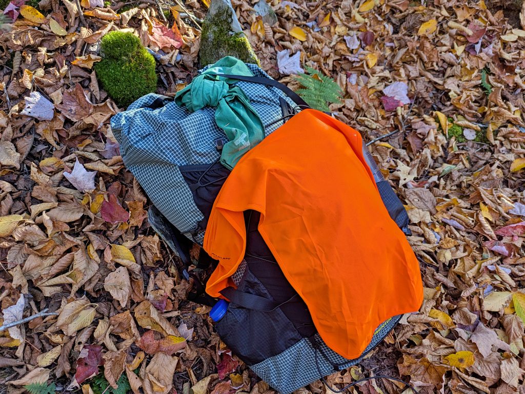
Rocking the blaze orange on my pack
Rhode Island is somewhat unique in that it is one of the few states that requires blaze orange clothing not only for hunters but also for all outdoor users during certain times of the year.
While it’s tempting to ignore this requirement, RIDEM is strict; fines may be issued if you’re caught, and other public land users appreciate the compliance for overall safety.
In brief –
- Part of September through November requires 200 sq. inches of blaze orange (hat OR vest).
- December requires 500 sq. inches (hat AND vest).
- January and February are back to 200 sq. inches.
- Part of April and all of May are back to 200 sq. inches after a break in March.
This graphic from RIDEM is useful –

Beyond the minimum requirements, a hiker may want to consider fuller coverage for safety and effectiveness.
Put succinctly –
- Cover the head – Wear a blaze-orange hat, or put a blaze cover over your hat, such as a Buff or a helmet liner.
- Have torso coverage – Wear a blaze vest or a bright, visible layer like a hoodie or base layer.
- Make the pack visible for full coverage – Put something visible on the back of your pack: a blaze bandana, vest, pack cover, or panel.
You have safe, versatile, and lightweight (in ounces/grams) coverage for hunting season at a small monetary investment.
During hunting season, don’t forget about blaze orange for your dog, too! Keep your dog leashed and visible, and consider a blaze-orange vest or an attached panel.
You can take a deep dive into hiking during rifle season in something I wrote earlier.
.
Maps & Navigation

Halfway to the ocean, more or less!
Overall, the trail is easy to follow and well marked with distinctive blue blazes, with only a few brief, tricky stretches, mainly around road crossings and campgrounds.
Many tracks online, from sources such as AllTrails, mountain bike and FKT attempts, older RIDEM files, and others, may not apply to hikers or reflect recent route changes.
The most accurate route I initially found was the NST route shown in OpenStreetMap (OSM), as well as on Gaia and similar mapping apps. Dan Scotina generously traced and uploaded the track for public use.
Unfortunately, the OSM layer and tracks based on it do not show the Borders Farm and Kenyon Hill reroutes made in recent years.
I imported the track into CalTopo, reconciled the Borders Farm and Kenyon Hill reroutes, and added quite a few notes, waypoints, mileage markers, side quests, resupply points, camping spots, etc., to make it a useful companion to this guide, especially in the field.
You can see the publicly available track here – https://caltopo.com/m/860R2HE#
Tip: Collapse the folders in the left-hand sidebar for a cleaner overview of the route, then expand them as needed.
The map defaults to the OSM layer. I find it works well for the NST because of the overall gentle terrain and easy-to-read map. CalTopo’s OSM layer defaults to meters rather than Freedom Units (TM). I added mileage markers along the track to make things easier.
The North-South Trail is generally listed as approximately 78 miles. However, this mapped route measures just over 76 miles in CalTopo. The difference may reflect reroutes, mapping methods, or differences in how the route and its endpoints are measured. For consistency, all mileage in this guide is based on the CalTopo track and measured from north to south. (Hmmm??? 🤔)
You can export the track as a GPX or KML file for use in your mapping app of choice, or print maps from it.
When in doubt, follow the blue blazes!
And what about print maps?
You can certainly import the GPX or KML file into the mapping app of your choice and also print your own maps as appropriate.
Other sources of print maps, again, use older information and may not be accurate.
If you don’t mind the meters vs. feet caveat noted above, I uploaded a free map set based on the CalTopo track to this Google Drive link, and anyone can download it.
The maps are also georeferenced PDFs (GeoPDFs), so you can print them or load them into compatible mapping apps such as Avenza, QField, and others for offline use,e with your location shown on the map.
They are overview maps at about 1:35,000 ±, in color, and the set includes the master summary map, for a total of seven pages. You can print the six detailed map sheets double-sided on three 11″×17″ sheets at a local copy shop, and print the master overview separately if desired. Expect to spend roughly $10–$15 for a color set, depending on the printer and paper selected.
If you need to protect a map, a large freezer bag is an old-school thru-hiker favorite.
Want to use a different mapping app?
If you prefer custom maps in a different format or aren’t sure how to export and import a GPX or KML file, here’s how to export the track and print it in CalTopo, Gaia, OnX Backcountry, and AllTrails.
- Exporting a CalTopo track
- Printing maps in CalTopo
- Importing a track into Gaia web | Android | iPhone, and printing maps in Gaia
- Importing a track into OnX Backcountry and printing maps in OnX Backcountry
- Importing a track into AllTrails and printing maps on AllTrails.
- Using a GeoPDF in other apps
Finally, I like print maps for overviews and electronic maps for finer navigation. It’s not an either/or situation, but different tools working together in a kit.
.
Getting There, Transport, and Parking
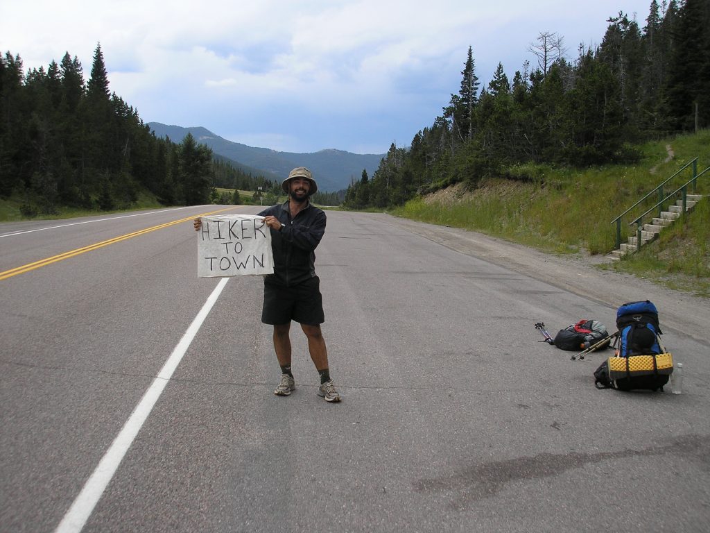
Me, twenty years ago, trying to hitch on the CDT. Probably not the first choice for many on the NST!
Ideally, you’ll want someone to drop you off and pick you up, especially on a thru-hike, to keep logistics simple.
But to quote the wise sage Yogi Berra, “If the world was perfect, it wouldn’t be.”
You’ll need to do some minor finagling if a friend or family member can’t pick you up or give you a ride.
Some people have reported parking for a few days at the following locations –
Northern Terminus Parking –
Melissa Masse on the Rhode Island North-South Trail resources page reports –
I still like parking in the boat ramp lot of Douglas State Forest. It’s a 1.96 mile hike in along the mass midstate to the northern terminus of the NST (also the southern terminus of the midstate) all well marked and you go by great cellar holes and the Douglas campsite. just email the park ranger that your going to park there.
Seems like a safe place to park overall.
More info for Douglas State Forest – https://www.mass.gov/locations/douglas-state-forest
.

Southern Terminus Parking –
Blue Shutters Beach officially does not allow overnight parking:
“Any vehicles remaining in the Charlestown Town Beach and Sam Ferretti – Blue Shutters parking lots after 9:00 p.m. will be subject to ticketing and/or towing at the owner’s expense.”

Burlingame State Campground, about three trail miles north, may offer overnight parking. Contact the campground directly to confirm current parking options before your trip. You’ll need to yo-yo those miles, but it’s a pleasant walk.
More info – https://riparks.ri.gov/contact
Shuttles, rideshares, and public transportation

Alas, the Simpsons’ monorail is NOT an option.
Uber and Lyft may work surprisingly well for the NST, and both let you schedule rides in advance. This can be particularly useful for day or section hikes. Because parts of the trail pass through rural areas, I’d schedule the ride in advance rather than assume a driver will be available when you reach a trailhead or road crossing.
Another possibility is a traditional taxi or private car service. Rachel’s Big City Transportation offers pre-arranged transportation throughout Rhode Island, including many of the rural communities the NST passes through. They don’t specifically advertise hiker shuttles, but it may be worth contacting them to see if they’ll arrange a pickup or drop-off at a particular trail crossing. Expect a private car service to cost more than a typical rideshare.
RIPTA Flex may provide another option for some section hikes. Unlike a conventional bus route, Flex service allows passengers to arrange pickups or drop-offs within designated service zones.NST hikers will be particularly interested in the Westerly/Charlestown area Flex service near the southern portion of the trail and the Pascoag/Slatersville Flex service in the northern part of the state.
Flex won’t shuttle you the length of the NST, but combined with other RIPTA routes, a rideshare, or a strategically spotted vehicle, it may help solve some section or even thru-hiking logistics.
As with any transportation, verify the current service area, schedule, and pickup location before relying on it for your hike.
Finally, some people on the Rhode Island North-South Trail resources page have generously offered parking or even shuttles. These offers are gratis and shouldn’t be counted on completely.
.
Mobile service?
Kids, ask your parents what this joke means. From a trip I took to Trinidad, CO.
Cell service is generally good along the NST, but don’t expect continuous coverage. Rhode Island is small and densely populated (less so where the trail passes), and the trail regularly crosses roads and runs near developed areas. However, pockets of poor or nonexistent reception remain in the more rural, wooded sections.
Coverage varies by carrier, phone, and location, so don’t rely on having a signal at any point along the trail.
Overall, though, cell coverage should be considerably less of an issue on the NST than on many longer, more remote trails.
Water sources on the North-South Trail?
.

Water is generally not difficult to find along the NST. Unlike my current Utah home, water is more plentiful in southern New England, and the route crosses numerous streams and other natural water sources, plus campgrounds and businesses. Check your maps, electronic or printed, and plan accordingly.
Treat or filter water from natural sources. During hot or unusually dry periods, don’t assume every small stream shown on a map will be flowing, and don’t depend on campground water being available outside the normal camping season.
For more specific information, this 2020 report provides detailed water-source information, but verify current conditions before relying on it. And, honestly, it’s probably more granular information than most people need for the NST.
Overall, water should prove one of the easier logistical aspects of an NST hike.
What about the road walks on the North-South Trail?

Alas, this sign is on the neighboring Midstate Trail and not the NST.
As mentioned earlier, about a third of the NST is paved road walking. Before that sounds too daunting, most of these road walks follow relatively quiet roads through rural western Rhode Island and make for pleasant walking.
The longest continuous stretch runs roughly from mile 23 to mile 34, between Route 6 and Route 14 (Plainfield Pike).
At approximately 11 miles, it sounds worse on paper than it proved in practice. The roads are generally quiet, surprisingly scenic in places, and give you a look at another side of rural Rhode Island. And it goes through one of the NST highlights for me, the historic Rice City.
.

I’d treat one road walk with considerably more caution.
From approximately mile 54.25 to about mile 56.25, the official NST follows Carolina Nooseneck Road between Buttonwoods Road and Kingstown Road (Route 138).
This road may have been relatively quiet when the NST was established, but todayit’ss a busy cut-through with little to no shoulder and frequent fast-moving traffic. During my hike, I often had to climb up and off the road or switch sides to give passing cars enough room.
Be careful along this stretch.
An alternate at mile 54.25 –
Because of the traffic on Carolina Nooseneck Road, I’ve included an alternate on my CalTopo map that bypasses this section and that others have used as well.
The alternate is perhaps less “interesting” than the official NST, but in my opinion, it’s now a safer road walk. It’s also about a mile shorter and rejoins the official NST at approximately mile 57.25 at Meadowbrook Rd.
As a bonus, the alternate passes directly through a Stop & Shop plaza with a full resupply and multiple food options. See the Food and Resupply section below for more details.
If you want to follow every mile of the official NST, this alternate probably isn’t for you. But others may want to trade a sketchy stretch of road walking for a safer, slightly shorter route with an easy resupply.
And maybe get a small taste of Western-style hiking in Rhode Island. 🙂
Camping
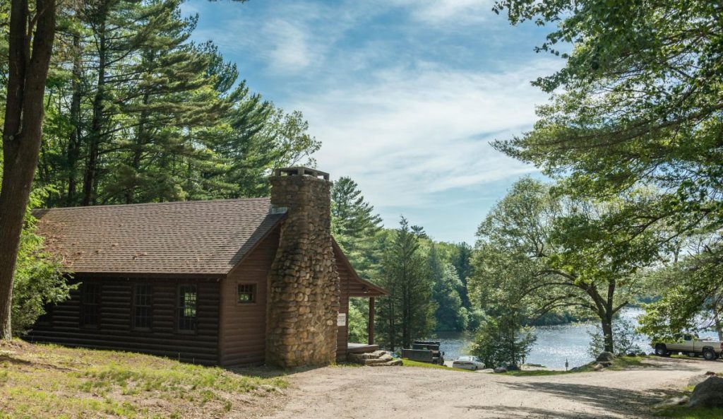
George Washington Campground. From Visit Rhode Island.
Dispersed camping in non-designated sites is not legally permitted along the North-South Trail. Although there are signs of dispersed camping on public lands along the route, overnight use on RIDEM lands is permitted only in designated camping areas.
Make of that info what you will. 🙂
Fortunately, a surprising number of legal camping options exist at public and private campgrounds on or near the NST. The following are listed north to south with approximate mileage based on the CalTopo track used in this guide. Keep in mind that these campgrounds are seasonal and may be closed during parts of the spring and fall hiking seasons.
| Mile | Camping | Type | Notes |
|---|---|---|---|
| Before Mile 0 | Douglas State Park Shelter | Shelter | On the Midstate Trail, approximately 0.75 miles before the northern NST terminus. Useful for camping before or after an NST hike. |
| 9.75 | George Washington Campground | State campground | On the trail. |
| 14.5 | Oakleaf Campground | Private campground | Near the trail. |
| 18.75 | Stateline Camp Resort | Private campground | Short walk across the Rhode Island/Connecticut state line. |
| 27.75 | Dyer Woods Nudist Campground | Private campground | Near the trail. |
| 29.25 | Colaluca Family Campground | Private campground | Formerly Ginny-B Campground. Approximately 0.25 miles off trail. |
| 40.50 | Circle ‘C’ Campground | Private campground | Approximately 1 mile off trail. |
| 43.25 | Oak Embers Campground | Private campground | Approximately 1.5 miles off trail. |
| 43.50 | Frosty Hollow Camping Area in Acadia Management Area | Backcountry camping area | About .25 miles off trail; Advance reservation required. (Different from the nearby group site) |
| 68.25 | Burlingame Management Area Canoe Campsite; Pawcatuck River | Primitive campsite | In the Burlingame Management Area, approximately 0.6 miles off trail. |
| 73.50 | Burlingame State Park Campground | State campground | On the trail. A camp store is about .75 miles from where the trail reaches the campground. |
| 76.50 | East Beach Campground | State campground | Short walk beyond the southern terminus. An excellent option to end the trip at the Atlantic and catch a sunrise. |
What about lodging?
The NST is relatively short, so most backpackers probably won’t need traditional lodging along the way. However, one motel sits directly along the route. It may prove useful if you’re taking a more leisurely pace, don’t want to camp every night, or are incorporating the NST into a longer walk using the Midstate Trail to the north or even beyond.
| Mile | Lodging | Notes |
| 22.75 | Stone House Motor Inn 162 Danielson Pike Foster, RI 401-647-5850 |
Almost directly on the NS,d next to Shady Acres Diner. A basic, old-school roadside motel. Call ahead to confirm current availability. |
Food and Resupply

Two New England staples from earlier in my hike.
While the NST is relatively short at ~75 miles, you still have several opportunities for food and resupply along the way.
All campgrounds except George Washington and Acadia have standard campground stores with the expected basic supplies. However, these campgrounds are seasonal and may be closed during otherwise excellent spring and fall hiking weather.
Additionally, the following services are available along or near the trail. Mileage is approximate and listed north to south.
| Mile | Service | Type | Notes |
|---|---|---|---|
| 22.75 | Shady Acres Diner | Restaurant | Near trail. |
| 23.00 | Star Petrol Gas Station | Convenience store / gas | Near trail. Convenience-store resupply. |
| 28.75 | Tavern 19 at Foster Country Club | Restaurant / bar | A classic golf-course “19th hole” for a meal and a drink. |
| 54.25 | Stop & Shop Alt Route | Full resupply / multiple services | About one mile into the alternate. Full supermarket resupply plus Ocean State Job Lot, pizza, bakery, McDonald’s, and, for the full New England experience, a Dunkin’. Lickety Splits Ice Cream and Alaina’s Coffee are just beyond the plaza. |
| 56.75 | Meadow Brook Golf Course Clubhouse | Restaurant | Near the trail. |
| 57.50 | Alaina’s Coffee + Kitchen | Coffee / breakfast / lunch | About 0.25 miles off the main NST; directly accessible from the Stop & Shop alternate. Lickety Splits Ice Cream is nearby. |
| 75.25 | Shell Gas Station | Convenience store / gas | About .25 miles off trail. Convenience-store resupply. |
| 75.25 | Quonnie Farms | Market and cafe’ | About .5 miles off trail. Gourmet food and sandwiches. |
| 75.25 | Dave’s Coffee | Coffee / food | A new RI classic. About 0.6 miles from the NST |
Side Quests
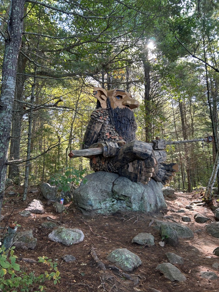
The Dambo “Young Boulder Troll.” From Rhode Island Hiking.
The NST passes through a surprising amount of history and has some interesting places either directly on the route or within a short walk.

Rice City Church is directly on the NST.
Keep an eye out for old cemeteries, stone walls, cellar holes, abandoned roads, and other remnants of earlier Rhode Island along the way. Some are obvious, others less so, and poking around a bit can add another dimension to the hike. In the words of my favorite philosopher, “You can observe a lot by just watching.”

By a gravestone with a colonial-era flag.
A few places in particular make worthwhile side quests –
| Side Quest | Approx. Mile | Distance Off Trail | Notes |
|---|---|---|---|
| Tri-State Marker | Near northern terminus | ~1.25 miles away | Visit the spot where Rhode Island, Massachusetts, and Connecticut meet, complete with a marker denoting the three-state corner. |
| Carl Erickson Covered Bridge |
6.75 | .50 mile alt route | A half-mile alternative and quick side trip to the Carl Erickson Covered Bridge. After the short out-and-back to the bridge, continue on the alternate route to easily rejoin the main NST at Mile 7. |
| Jerimoth Hill | 18.75 | ~1.0 miles east | Rhode Island’s high point, 812 feet of elevation! An easy opportunity to “climb” a state high point while hiking across the state. |
| Borders Farm | 26.00 | On trail | A working farm with beef cattle, hayfields, a farmhouse museum, and public trails through the woods and fields. You’re already passing through, so it may be worth a quick saunter. |
| Rice City | 32.75 | On trail | The NST passes directly through this historic hamlet. If you enjoy history and have some time, poke around and check out the surviving late-1700s and early-1800s buildings and remnants of the former village. |
| Young Boulder Troll | 49.75 | ~0.5 mile | A photogenic and whimsical giant troll sculpture just off the NST. Not exactly historic Rhode Island, but certainly worth the short detour! |
Of course, you don’t need any of these side quests to hike the NST. But you’re already walking across Rhode Island. You might as well meander around a little. 🙂
Additional Resources

Information about the NST exists online, but it’s scattered among different websites, social media groups, older guidebooks, trip reports, and other sources. That’s one reason I put this guide together in the first place.
Here are some additional resources that may prove useful –
- Rhode Island North-South Trail Resources Facebook group – Probably the best current source for NST information and the closest thing the trail has to an active, de facto trail organization. You’ll find current trail conditions, reroutes, questions and answers, and people with considerable trail experience.
- North South Trail: A Guide for Traveling the Trail by Foot, Bicycle, or Horse – Cliff Vanover’s guidebook was the traditional guide to the NST for many years. Great Swamp Press currently lists the book as out of stock, and copies are hard to find. The trail has also changed since the book’s 2003 publication, so don’t assume all the route and logistical information still applies. Still, it’s an excellent historical resource and probably the most comprehensive traditional guide ever published for the trail.
- Trails & Walks in Rhode Island North-South Trail series – Probably the closest thing currently available to a traditional online guidebook. It breaks the NST into sections with descriptions and photos. Some information is now dated, but it remains a useful resource, especially for getting a feel for individual sections of the trail.
- Providence Journal – “Want to thru-hike across Rhode Island?” – An excellent 2026 overview of the NST, with particularly useful background about the history of the trail and some of the people who made it happen.
- 2020 NST thru-hike trip report on Reddit – A detailed account of completing the trail in three days, including thoughts about terrain, road walking, water, and camping. Some logistical information is dated, but firsthand accounts can still give you a good idea of what walking the NST is actually like.
- The Trek’s Rhode Island North-South Trail account, another older firsthand account of the NST. Again, use it more for flavor and general information rather than current logistical details.
- Komoot’s North-South Trail collection – A more recent multi-stage presentation of the route with an interactive map, photos, and suggested stages. Useful as another perspective and planning resource, though I’d verify route and logistical details against more current information.
- North South Trail on YouTube – Prefer videos for a different kind of immersion? YouTube has many videos for you to peruse.
A future guidebook?
The old NST guidebook filled an important niche, but keeping a traditional small-run print guide current can be expensive and difficult for a trail with a relatively small audience.
Perhaps an electronic guide could fill that niche someday. The Cohos Trail Association’s downloadable PDF guidebook offers a model: relatively inexpensive to produce and update, easy to download to a phone or tablet, and something hikers can print themselves as needed.
For a grassroots trail such as the NST, something similar might make more sense than trying to keep a traditional printed guidebook continuously updated.
.
Beyond the North-South Trail
.
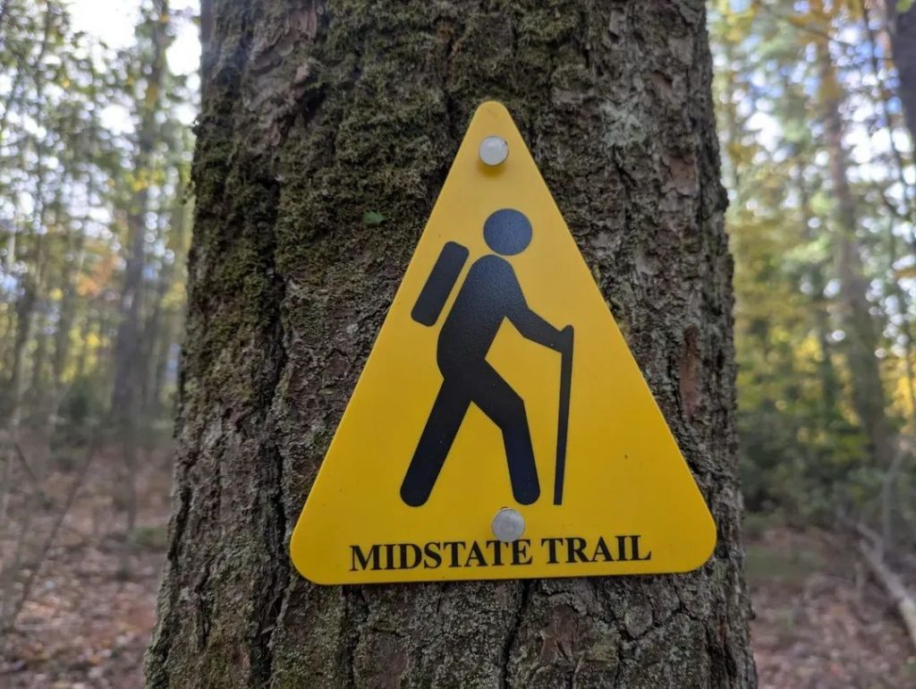
The NST can also be part of a longer hike to see lesser-known parts of southern New England.
Beyond the NST, you can easily connect with Massachusetts’ 92-mile Midstate Trail.
From there, the Midstate continues north and connects directly to the 21-mile Wapack Trail into New Hampshire.
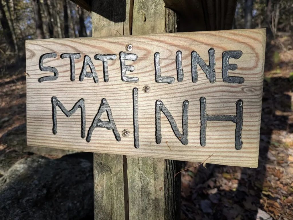
Put the three together, and you have roughly 190 miles of connected trail stretching from southern Rhode Island into southern New Hampshire, with some surprisingly rural walking for southern New England.
A neat little route, especially for fall!
And why stop there?
I already mentioned the Canada-to-Atlantic route. However, with a little map reading, you can also connect from the Wapack Trail to Monadnock, hook into the New England National Scenic Trail, and make an “Ocean Horseshoe.”
So many possibilities to make your own rewarding thru-hike. Follow that long brown path before you…leading wherever you choose!
.
Final Thoughts
.
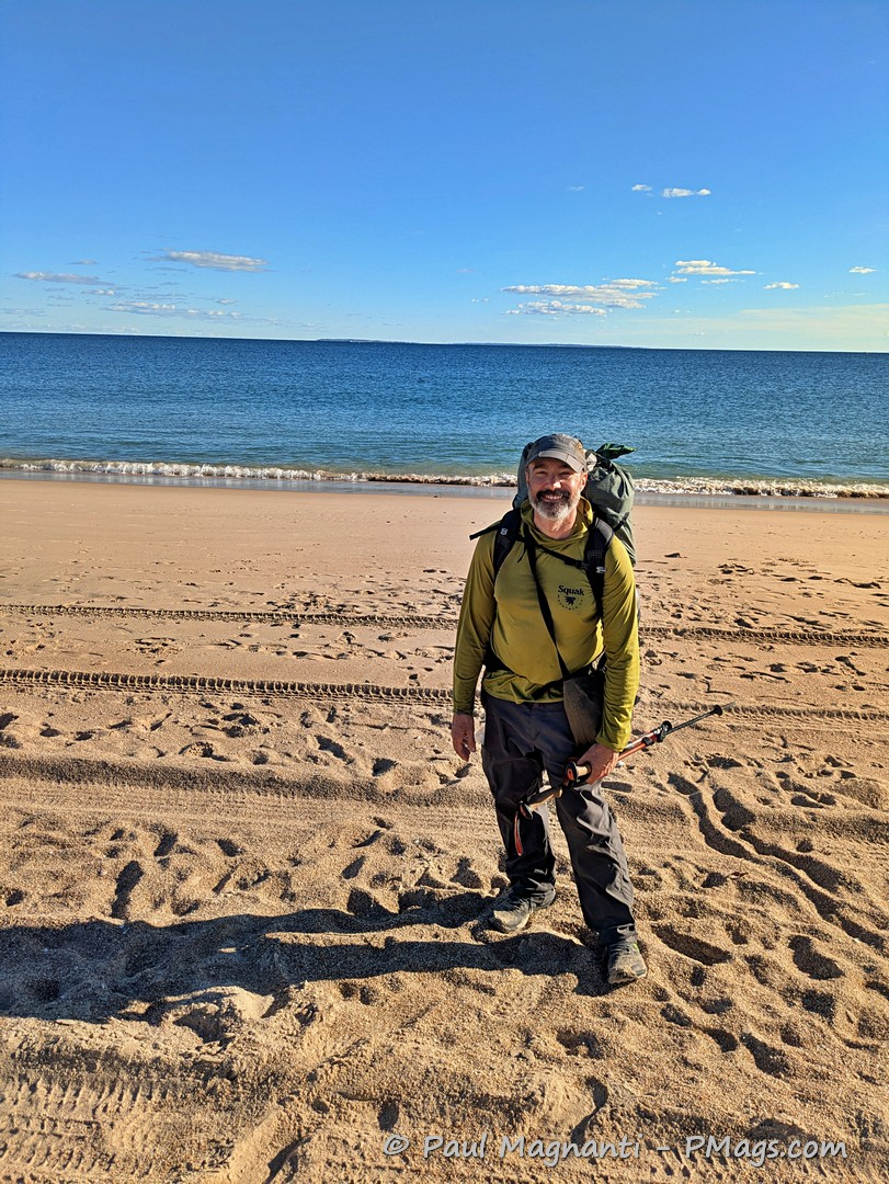
The North-South Trail isn’t the most remote, challenging, or physically demanding trail I’ve hiked. But walking across my home state proved far more meaningful than the mileage or difficulty might suggest.
I grew up in Rhode Island, but I didn’t really discover the outdoors until my 20s. Soon afterward, I went west and, in many ways, left those roots behind.
Walking the NST decades later let me experience my home state in a different way. I passed through quiet woods, old mill villages, stone walls, cellar holes, cemeteries, and small pockets of wildness that I either never knew existed or never appreciated when I lived there.
Experiencing Rhode Island on foot connected the history, landscape, and people who shaped the state and me, in a way that day hikes or isolated trips never quite could.
For me, the NST also formed the final stretch of a ~500-mile walk from the Canadian border to the Atlantic. Ending that journey at Blue Shutters Beach, in the state where my own journey began, gave those last 75 miles a meaning well beyond simply completing another trail.
It was a homecoming of sorts.
I came back to where it all began and, in many ways, saw it for the first time.
I hope this guide helps you make your own journey across Rhode Island equally memorable.
Wow, what a remarkable resource to give out freely, thank you
My pleasure! Many people have helped me out over the years, and I’m happy to return the favor and give back a bit!
OMG! I so badly wish this had existed at the start of summer! I’m completing my thru-hike tomorrow (did it in 11 segments over the course of the summer) and the lack of a reliable, updated trail guide led to a lot of cobbling together of out-of-date resources and many an unplanned detour. Thanks for providing this service for future hikers!
Thank you so much for the kind words.
Comments like this really mean a lot to me and make all the work putting this together worthwhile.
And congrats on finishing the trail! Hopefully this guide can save some future hikers from cobbling together all those older resources and taking a few unintended detours. 🙂
Congrats again, and thanks!
Paul, thank you for this fantastic resource. Troop 1 Richmond just started southbound section hiking the trail yesterday for our Hiking Merit Badge. Your data compilation is much appreciated.
Awesome! Boy Scouts introduced me to hiking many moons ago and positively impacted my life. Great to hear the troop is getting out on the North-South Trail. Enjoy the hiking!