
When I started backpacking, I made some mistakes. But I learned along the way.

As my colorful mother would say, I started to know my ass from my elbow.
One lesson I learned early on? Get a good set of maps.
People of a certain outdoor experience and vintage may remember the older-style Appalachian Mountain Club White Mountain Guide.
A short, thick book with very utilitarian [1] black-and-white text. And even more utilitarian black-and-white paper maps.
These maps worked well enough for my initial forays into backpacking.
But they weren’t robust.
They ripped easily, weren’t waterproof, and replacing them frequently would get expensive.
But they had the information I needed.
And though I did not quite know my ass from my elbow when it came to backpacking, I knew enough to photocopy the sections of the maps I needed and use those copies while hiking.
I could mark up these map sections, highlight my route, and fold them as needed.
They still weren’t waterproof, or even water-resistant, however.
The solution? An ever-handy gallon-sized Ziploc bag made a wonderful map case.
And still does today.
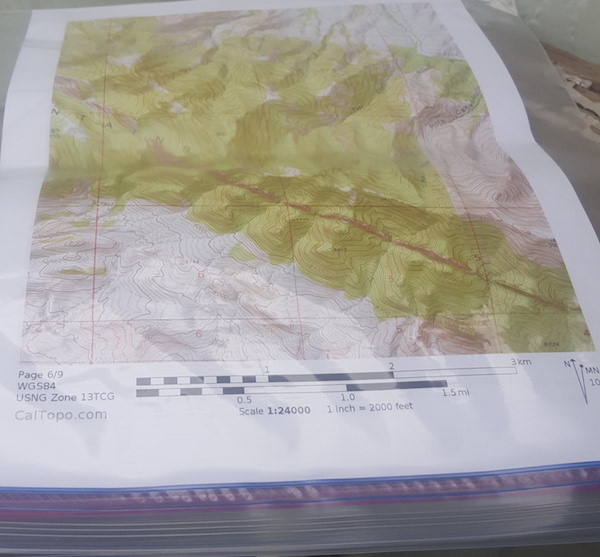
Seems like a logical idea.
But I’m sharing this tip because a fair number of people have never heard of it before.
The Ziplock is clear plastic, seals nicely, weighs little, keeps the maps dry, and folds up easily, too.
Perfect.
Twenty years later, I still use this technique for maps I print out with CalTopo.
Instead of highlighting my route with a marker, I can trace it electronically on the map and add other notations as needed.
Similar to what I did in 1996.
Except my maps are now in color. And the writing on them is much neater than my chicken scratch, which caused some agita among the nuns at my old Catholic school.
But the paper maps still go in a Ziploc bag.
Oh, commercial recreational maps are highly water-resistant, fold up nicely, and are a bit more updated (!?!) than old quads in many cases. These maps show newer roads, trails, and so on. And they make wonderful overview maps even for trips with off-trail travel planned.
But they often don’t have the level of detail I need for off-trail areas. And commercial recreational hiking maps, with the popular NatGeo Trails Illustrated maps being the obvious example, don’t cover many more obscure areas.
Different types of maps. Different purposes. Yes, those are the old-school Wolf guides.
Going off-trail and/or into a more obscure area? Print out those maps. And protect them with a simple Ziploc bag. There are other commercial options for map covers, but I’ve hiked a fair amount and never felt the need for anything different, for what it’s worth. (Or maybe I am just frugal…)
As a side note, while electronics in the backcountry are increasingly popular, maps aren’t going away. How do we use and procure them? Well, that’s an article for another day…
[1] Honestly, I am not describing myself…
Plus, the zippered plastic bag plus regular paper map is a lot lighter than those coated papers of so-called waterproof maps. I’ve found that the coating rapidly breaks down at the folds so that after a few uses the “waterproof” map is no longer waterproof and is developing holes!
With my printer/scanner, I can make plain paper copies of the expensive “waterproof” maps which are lighter and leave the expensive original unscathed for future use.