Navigation is a core skill set, be it by map, compass, or a GPS-enabled device.
Over the years, I’ve heard plenty of hot takes about backcountry navigation, typically online:
- “Paper maps are dead.”
- “GPS is cheating.”
- “Give me declination or give me death!”
Let me offer a pragmatic take: navigation is not a competition between tools. It’s not a question of which tool is “better,” but how they work together. An educated and experienced outdoors person doesn’t limit themselves to one method; they use the full toolkit: print map, compass, and GPS-enabled devices.
TL;DR – It’s not either/or; different tools complement each other, and depending on the situation, one tool works better. A wise backcountry navigator uses all the tools in the kit and knows how to use a map (electronic and print), a GPS-enabled device, and a compass.

Use the full toolkit
I’ve often compared gear and clothing to tools, and that each task uses the right tool for the right job.
In this case, each tool serves a complementary purpose:
-
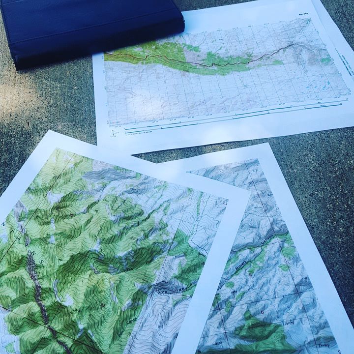
- Print maps provide context. They provide a broader perspective more quickly. Want to see all your bailout options, the terrain ahead, or how that side canyon ties into a drainage? A paper map lays it out clearly, instantly. No swiping. No battery life.
-
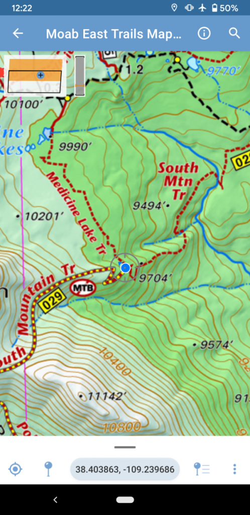
- GPS and digital maps (on devices like Gaia, CalTopo, or Avenza) offer precision. Need to know your exact location? Want to reference multiple map layers (topo, satellite, land use, NatGeo, etc.) but not carry numerous maps? They excel here. And in dense woods or snow, knowing where you are down to the coordinates can make life simpler.
-
- Compasses are quick, reliable, and battery-free. Following a bearing in thick trees, fog, or when snow has obscured the trail? A compass can sometimes be faster and easier than following a bearing on a phone. I also use a compass at archeological sites, as often the ancient structures align with cardinal directions.
I know how to use a frying pan, oil, and a spatula to make a yummy meal on my stove. But damn if I won’t use a microwave to heat up leftovers from that meal.
An example from the field
A couple of summers ago, I was on a cross-country stretch—north-facing slope, tree cover, snow patches. I used Gaia GPS to pinpoint the pass I needed to hit, studied the contours, and got a sense of my line. Then? I put my phone away, pulled out my compass, and used bearings to make my way to the pass through the snow-covered slope among the trees.. Quick, efficient, accurate.
This wasn’t “old school” or “new school.” It was just using the best tool for the job.
Don’t think of it as a backup
There’s a tendency to treat one tool as the “best” way to navigate and the others as backups. That’s misguided. Each tool plays its part:
-
- Planning?—Start with a print map, backcountry atlas, or a tool like CalTopo, Google Earth, or Gaia on a large monitor.
-
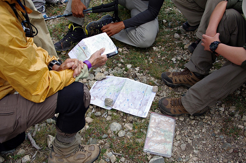
- In the field?—Use what makes sense during a specific situation. At night, I’ll often pull out a large map to create alternate routes, find where I am at the moment with a GPS app, or take a quick bearing with a compass. It all depends.
-
- Lost or confused?—Mix and match the tools: GPS to reorient, compass to confirm direction, map to regain the big picture.
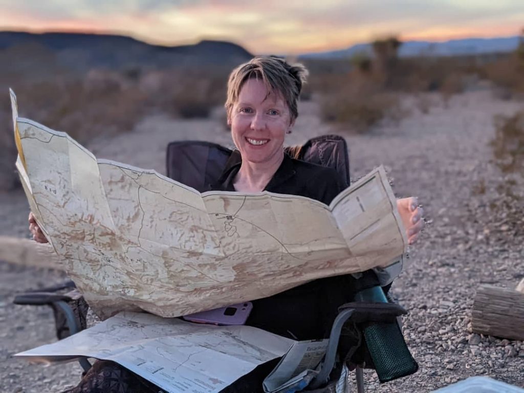
Joan pre-planning with both print maps and her iPhone in Big Bend NP.
Is a map and compass just for Boomers?
Some younger folks online joke that map and compass fans are just cranky Boomers lecturing people in Appalachian Trail lean-tos. No doubt, there’s probably some validity to that statement.
However, over the years, my paycheck has come from working in software and IT. And I’ve noticed a particular personality type drawn to technical fields, folks who enjoy playing the “I know this obscure skill and I want you to know I know it” card.
A lot of the Boomers they’re referring to? And probably some of the Gen Xers, like myself, to be honest? For sure, some of them fit that stereotype: Engineers, IT people (sigh), software developers, or similar. Make of that what you will.
But these days, more and more experienced outdoorspeople, regardless of age, use a print map, compass, and GPS together as part of a complete navigation toolkit.
Again, use the correct tool in your kit.
Final Thoughts
Chris Townsend, a well-respected outdoor writer, said it well:
When I go to the hills I do so to experience the landscape, the wildlife, and being in the outdoors. I don’t want to spend time looking at a map, whether paper or on a screen, or a compass. So I don’t spend any more time than necessary on navigation, which can mean hardly any time at all.
That’s the goal: To move through the landscape with awareness, confidence, and skill. And not just our heads buried in screens OR maps.
Sometimes, one of the tools works better than another for the goal of efficient navigation and route finding.
In practice, I carry a large-scale print map, typically a set of CalTopo custom prints or a commercial map, such as a NaGeo map, alongside a GPS-enabled phone app(s) and a compass.
A wise outdoors person uses all the tools available and knows how to use them.
Together, they all help me navigate the landscape with awareness, not just accuracy.

Want to learn more about navigation? The Columbia River Orienteering Club (CROC) has put out an 18-part YouTube series (in ~10-minute chunks) and is an excellent and free primer for map, compass, and GPS app use.
Well said, and good system. Over reliance on GPS and the mapping apps is an issue, but they are certainly valuable and convenient tools. Beyond navigation, the apps have a few other downsides (as you’ve written about regarding LNT principles, gatekeeping, etc). “Which tool?” and “what ethic?” are the new questions ….Oh, and the privacy concerns. One of my map apps updated terms to require access to location data, even when the app was not being used. My microwave is great, but it doesn’t sell my eating habits to data brokers. Nor does it post pics and reviews of my… Read more »
Ah, that’s another ball of each for sure. I’m soft looking for a Gaia replacement for those reasons. https://pmags.com/the-enshittification-of-gaia-gps