Joan and I enjoy gravitating toward places with little info beyond what we can find on the map. We get intrigued by the lines of the canyons, the potential spings, and what the alcoves may contain.
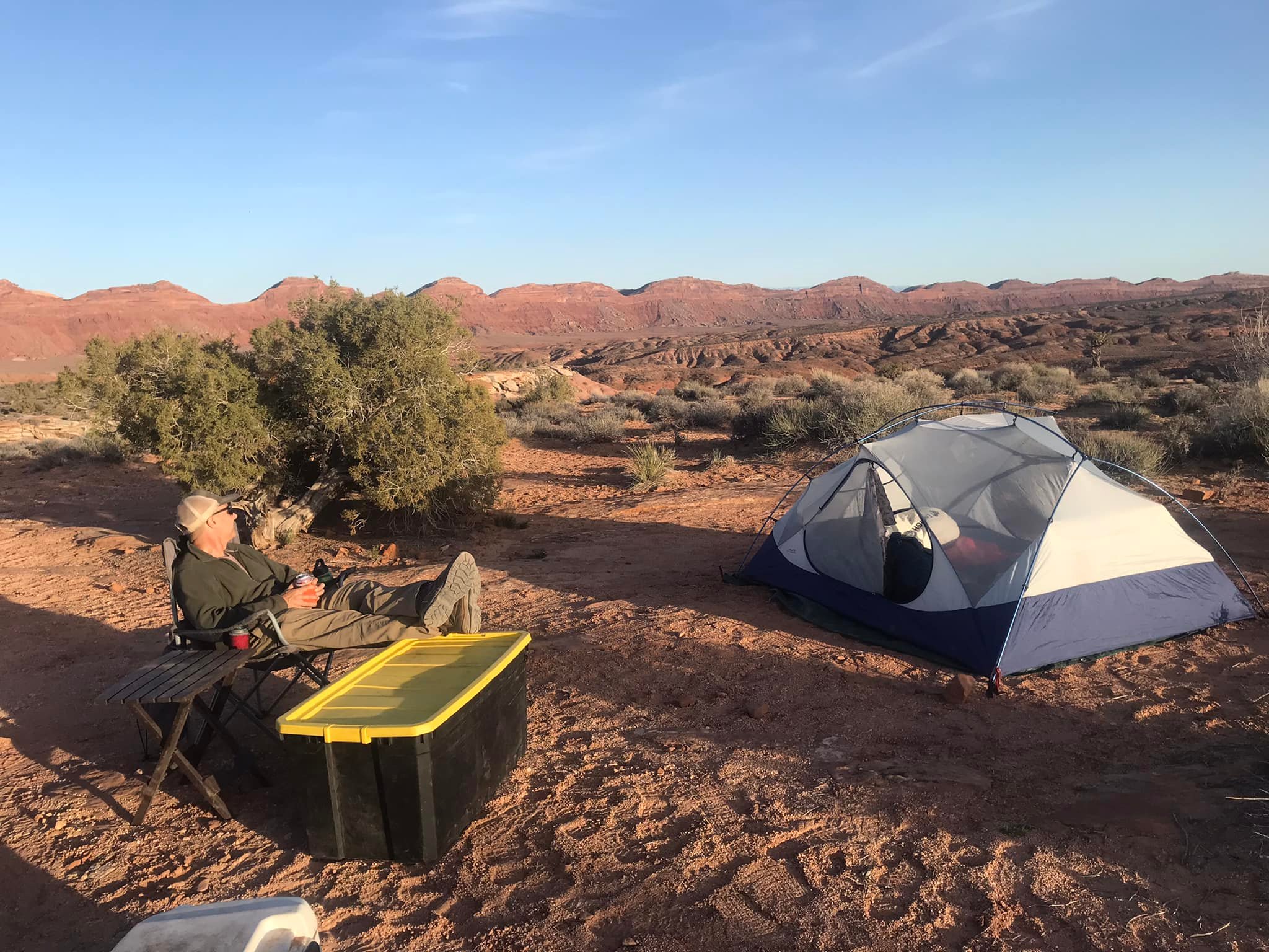
A typical Thursday evening found us on the canyon rim and making a quick car camp.
PCO Joan
These short camps extend the time here and make us feel more immersed in the area.
A cold drink, a sunset view, and the stars above at night always seem a satisfying way to kick off the extended weekend.
It’s nothing #EPIC or particularly over-the-top, but we enjoy it.
In the morning, we enjoyed the canyon rim view where we’d descend and then made our way to the bottom of the canyon floor.

We found an excellent place to make camp, well away from the main canyon floor and not far from a seep. We set up camp, stashed most of the gear, and proceeded to “see what we can see.”
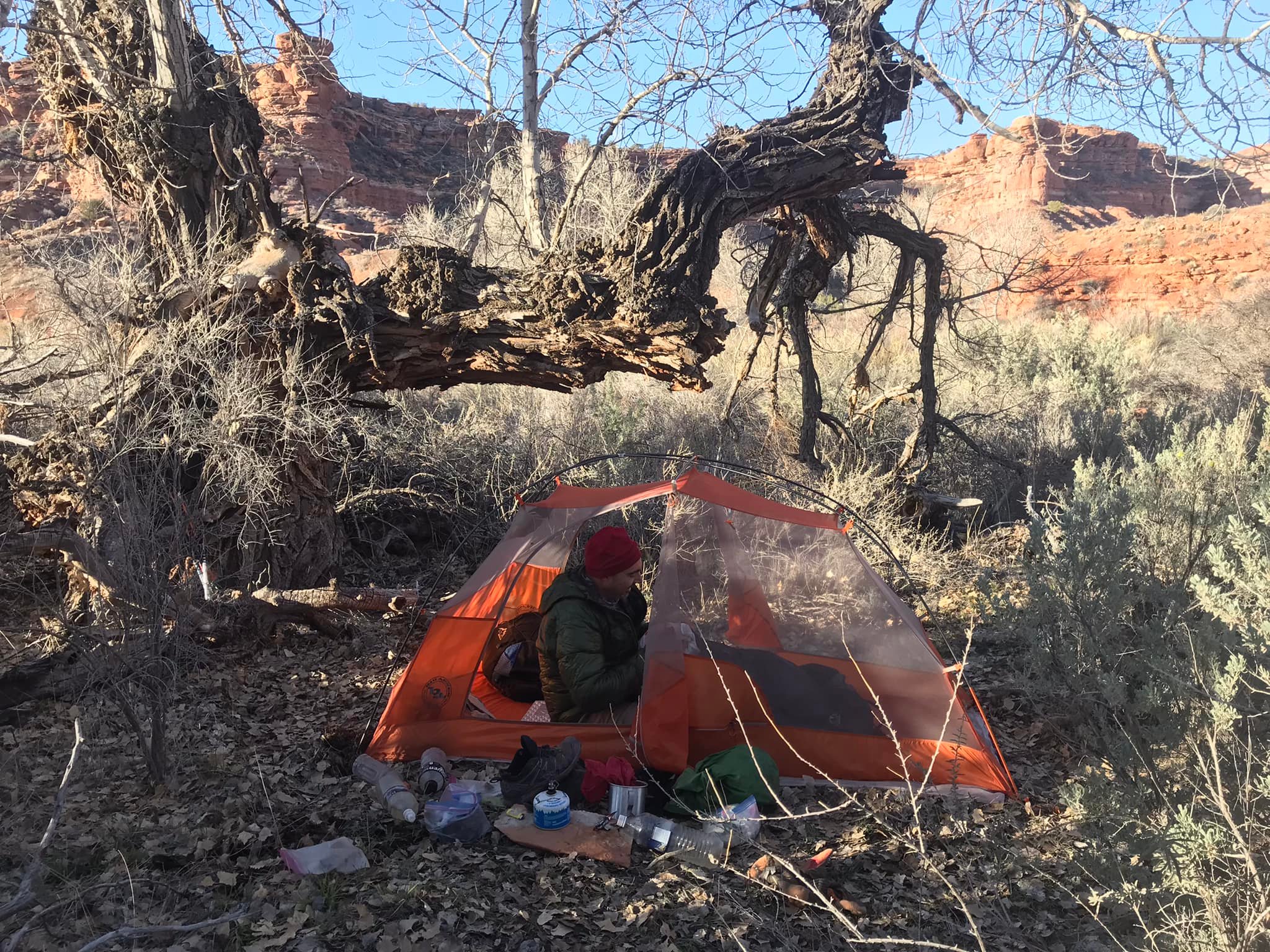
Our camp one of the evenings. PCO Joan.
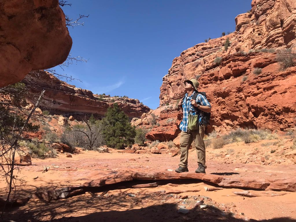
We went up an unnamed fork from the map and wanted to see if any social trails or other items existed on the fork. Though we did not see any potential exits, we did enjoy the beauty of this red rock canyon.

We lollygagged our way back to camp from an obvious turnaround point.
PCO Joan
Once in camp, we made dinner and enjoyed our customary evening nightcap of cider and rum while looking up at another impressive Utah night sky.
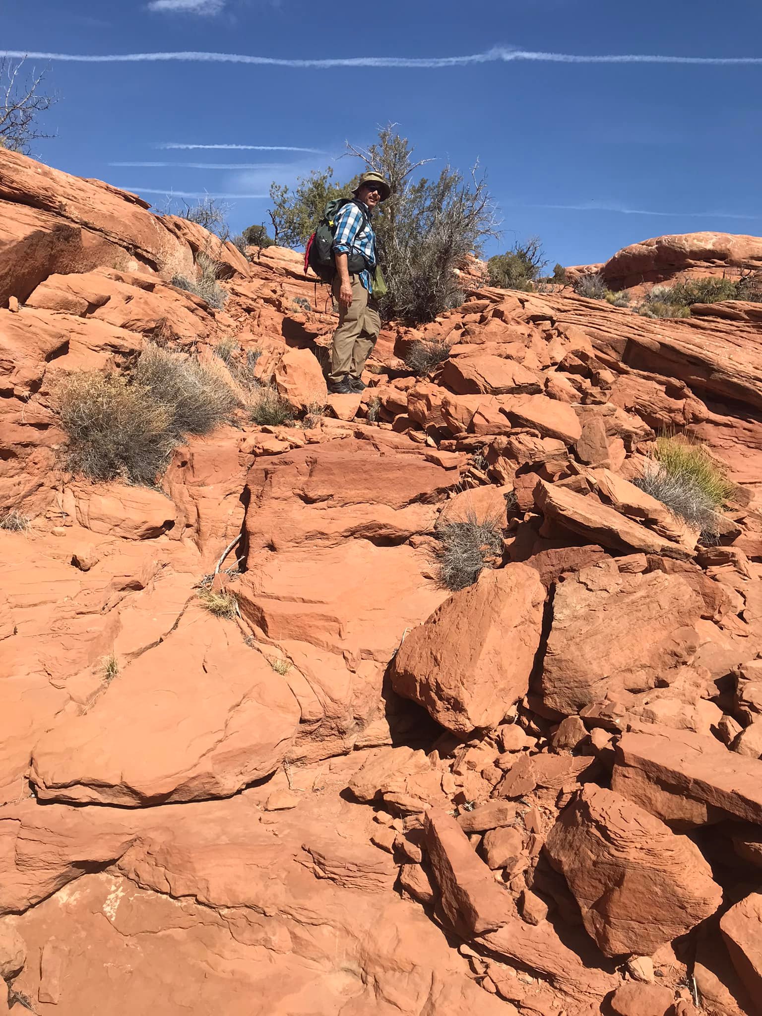
We woke up and then roamed up another canyon from basecamp.
As we made our way along the canyon, we noticed what appeared to be a CCC-era cattle trail with crushed rock, obvious blast holes, and old fencing. Yet, unmarked on modern maps.
PCO Joan
We saw come cairns up there and a few footprints. We don’t know where it leads definitively, but we have a good idea based on the map and might use it for future trips.

We continued our walking down the canyon. Around a flowing seep, we, no surprise, saw a structure upon the cliff wall.


Various images stood out dramatically from many vantage points.


Not far away, Joan spotted quite a few potsherds with no signs of any “museum displays.”

From this structure, we continued to travel the canyon. We saw another cliff-side structure that seemed especially dramatic in its appearance.

The masonry, the isolation and inaccessibility without a ladder, and the overall design seemed to indicate later construction (potentially?) than what we saw earlier in the day. From a distance, the structure blended in almost entirely against the wall. Only when we stood directly in front of it could we see it.
Further along the canyon, we saw another social trail that had no markings and a total of two cairns. Oddly enough, we did see cow dung!

The high point of our climb gave both good views and an indication of another potential loop idea.
And made an excellent turning point for the day.

We arrived back at our camp near sunset. A long day not mileage-wise but certainly timewise with the ambling up and down the canyons, looking into nooks and crannies, and savoring our time out here. As a friend pointed out, this area does not lend itself to thru-hiking style miles but seeing what we can see. And we took in quite a bit this day!
The sunset in the canyon seemed exceptionally “warm” and gave the feeling of more of a mountain sunset. I do not know if alpenglow applies to canyons, but it seemed that way this evening!
We looked around up another canyon the following day and then headed back to our waiting vehicle.

We spent not-quite-four days out here and did not see anyone on the canyon bottom and only two vehicles passing in the distance from our car camping spot itself.
And we would not have it any other way.