
Forty Miles Along Pictured Rocks
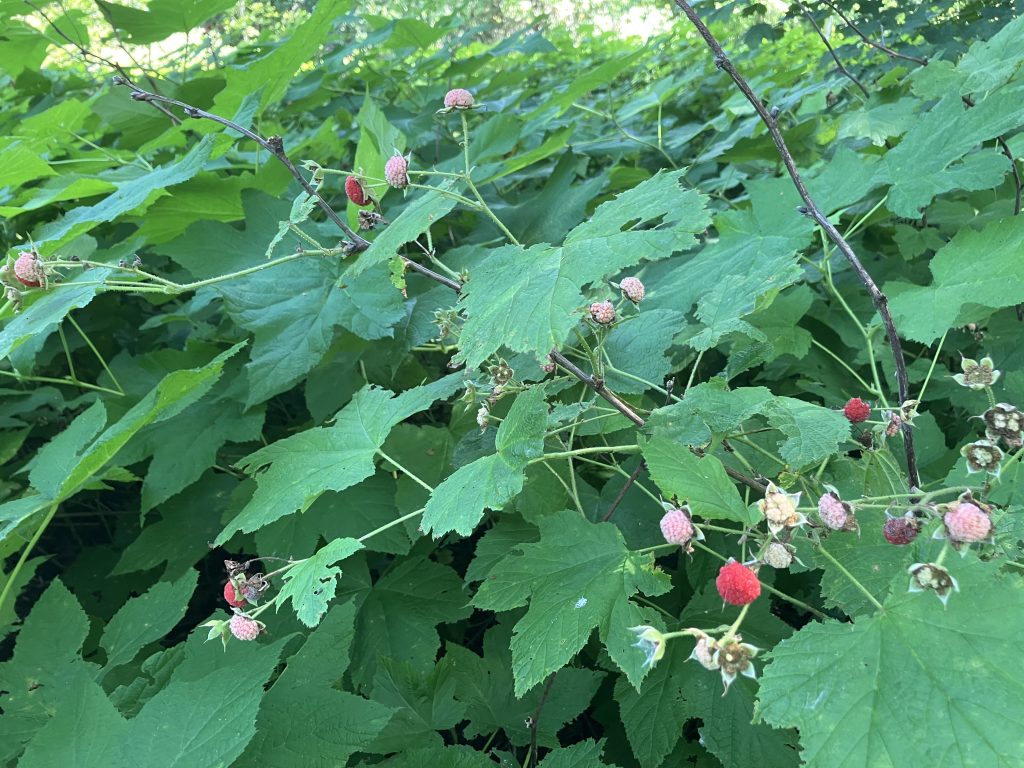
Backpacking four days through Pictured Rocks National Lakeshore was my version of an all-inclusive resort-style trip! Unlimited water, free all-you-can-eat berries, and perfect swimming beaches morning, noon, and night. Amenities also included trash cans, bonus water spigots, and a stop at the lighthouse for a ranger program.
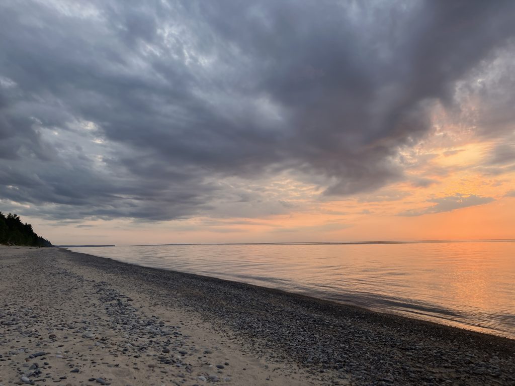
Evening entertainment featured watching the sunset and listening to the loons’ call.
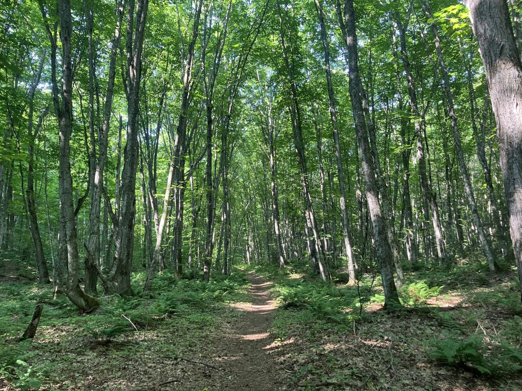
And the trail itself was beyond lovely: Soft, even tread (for the most part), sweet lake views alternating with beautiful, lush forest. So green!
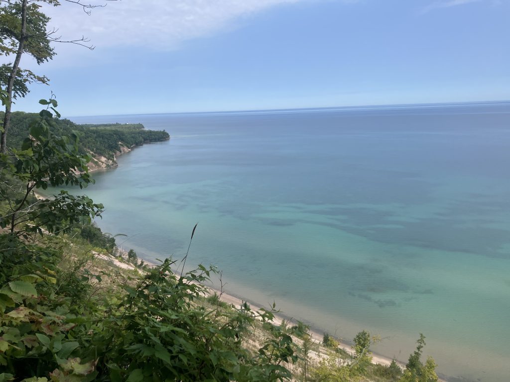
Pictured Rocks — At a Glance
Pictured Rocks National Lakeshore sits along Lake Superior in Michigan’s Upper Peninsula, between Munising and Grand Marais. The North Country National Scenic Trail runs about 42 miles through the park, making a really nice point-to-point backpacking trip.
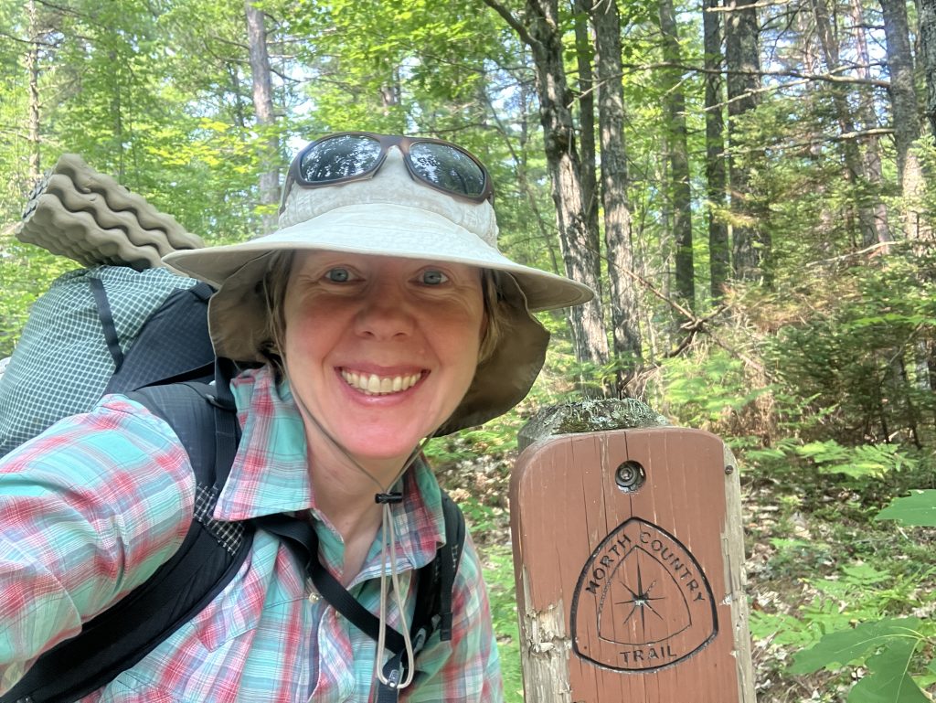
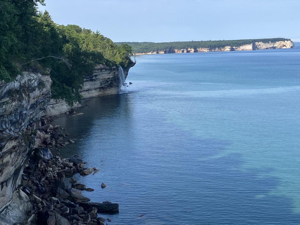
The trail alternates between lush forest, beaches, inland lakes and streams, waterfalls, huge sand dunes, and the colorful sandstone cliffs that give the park its name.
Permits: You need reservations for all backcountry camping, and there’s no dispersed camping in the park. Reserve specific campsites through Recreation.gov / Pictured Rocks permits. Most backcountry campgrounds are small, with only a handful of individual sites. Additionally, you need a National Park and Federal Recreation Lands Pass.
Weather: Summer is generally mild, with daytime temperatures often in the 60s and 70s, but Lake Superior makes the weather change quickly. Be ready for cool temperatures, rain, wind, fog, and bugs, even if, like me, you luck out with four gorgeous days! August averages about 73°F during the day and 56°F at night.
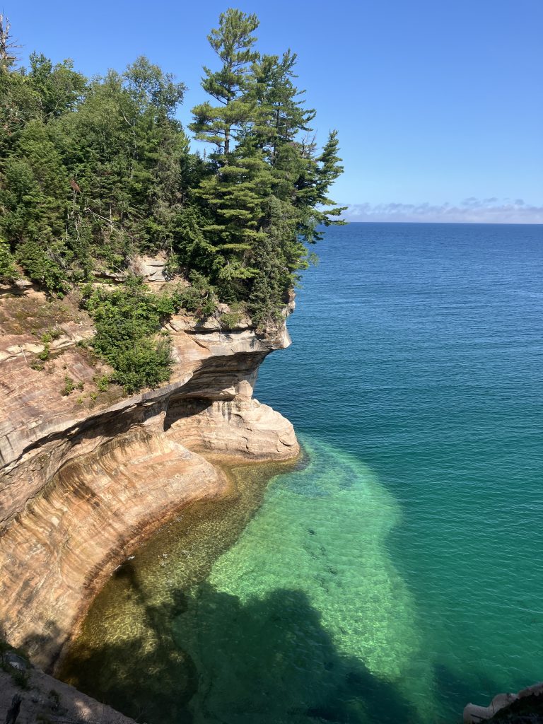
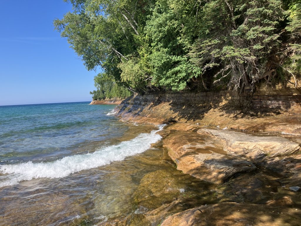
Highlights: Lake Superior beaches and swimming, waterfalls, the Pictured Rocks cliffs, Grand Sable Dunes, inland lakes, Au Sable Light Station, berries in season, and miles of beautiful forest walking. The lake itself was the highlight for me. I could hear the waves for much of the trip and stop for a swim whenever I found an inviting beach.
Overall: Compared with the rougher backpacking I normally do, I found the trail exceptionally well maintained, gently graded, easy to follow, and downright luxurious. It’s a great trail if you want to slow down and actually enjoy being somewhere rather than knock out miles.
An 8–12 Mile-Per-Day Itinerary
For a 42-mile route, three nights gave me the perfect trip.
I didn’t really plan it that way. I made the reservations back in March, when I was doing off-trail canyon scrambling trips where 10 miles can easily take us 8–10 hours. I didn’t do much research and figured 8–12 miles a day sounded about right.
In retrospect, I probably could have done this trip as an overnight without much trouble, given the long hours of daylight and gentle terrain.
But instead, I got a relaxing, totally enjoyable vacation, and I’m so glad I spent four days!
I filled the extra time with side excursions to lakes, stops at all the viewpoints, multiple swims every day, and plenty of time relaxing on the beach and reading. I even took a ranger-guided lighthouse tour.
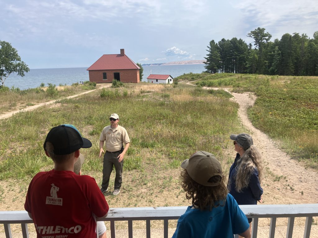
Even at a relaxed pace, with morning swims or an hour spent reading by the water, I usually reached camp by 2 or 3 in the afternoon. Then I had plenty of time for a bonus hike from camp, a stroll up and down the beach, another swim, or simply lying down by the water with my book.
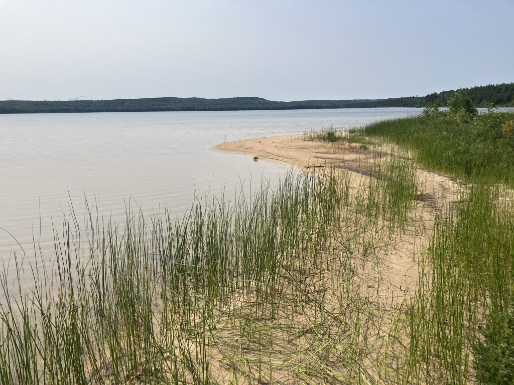
It felt luxurious and immersive.
Being in the Midwest
I’ve lived in Moab for the last 10 years, but when people ask where I’m from, I never have a good answer because I’ve lived in so many places.
Lately, I’ve started saying I’m “culturally Midwestern.” [1]
My family has lived here for generations—Wisconsin farms and small towns, Chicago. I only lived in Chicago for four years while going to college, but my parents retired to Wisconsin 20 years ago, so whenever I “go home,” I come here.
My uncles and aunts are here. My cousins are here. The family farm, though no longer in our family, is here. The graves of my ancestors are here. So many of our family stories take place here.
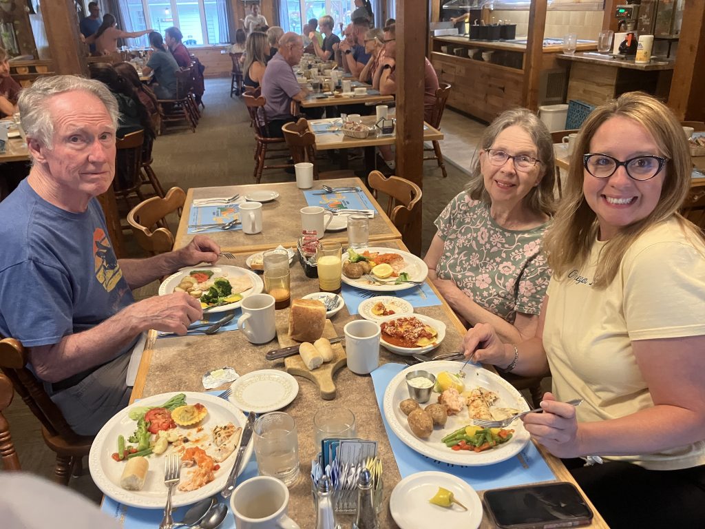
With Mom, Dad, and my sister for some post-trail dinner at the Sunrise Lodge in Wisconsin.
I’ve spent lots of time in cabins “on the lake up north” and hiked around places like the Porkies and Sylvania Wilderness, but this was my first trip to Pictured Rocks—and my first backpacking trip in the Midwest.
My Route and Permits
My parents were gracious enough to drop me off at Grand Sable and pick me up at Munising Falls. That allowed me to hike the full 42 miles of the North Country Trail through Pictured Rocks National Lakeshore.
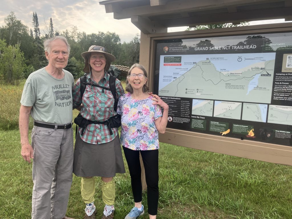
Backpacking permits were required, and I reserved mine in March for my mid-August trip.
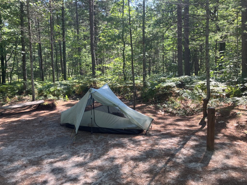
Each backcountry campground had three to seven campsites for parties of one to six people, arranged around a central bear box and toilet. The sites were closer together than at other national parks where I’ve seen similar arrangements, such as Glacier, but fortunately, everyone around me was quiet.
Campsites
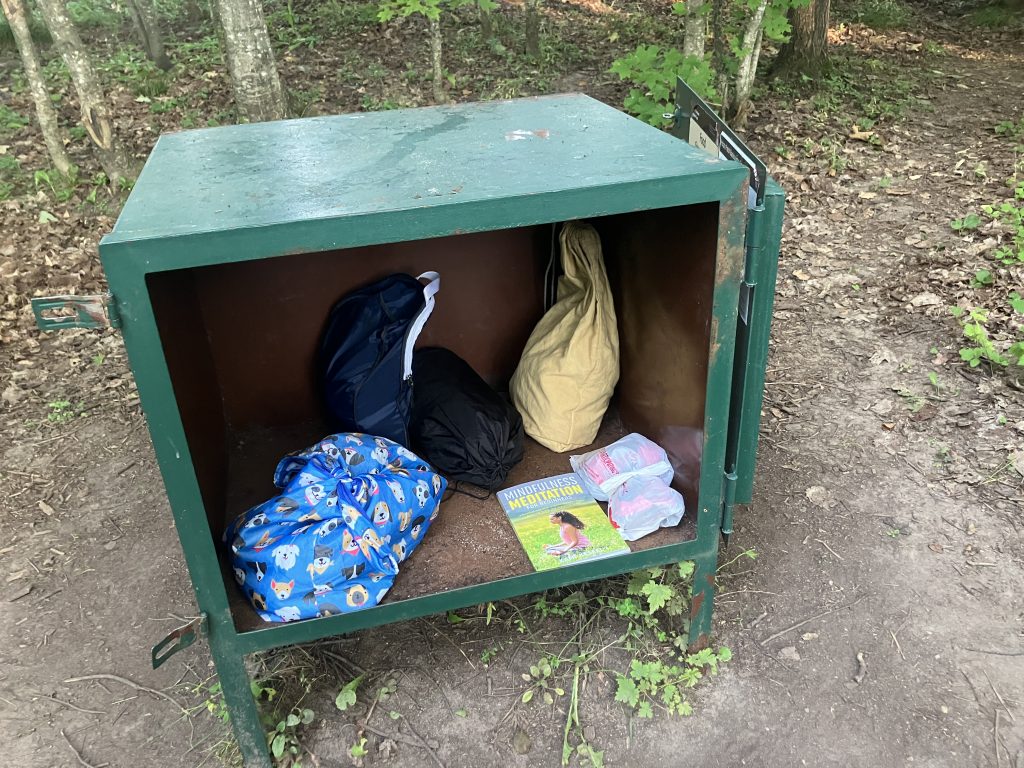
One thing made me a little nervous: there wasn’t a designated eating area like there is in Glacier, and everyone else seemed to eat by their tents.
I’d heard bears could be problematic, so I ate by the water or near the bear box instead of anywhere near my tent. Of course, who knows what people had done there the night before!
I guess every place develops its own culture and practices. I’d gotten really accustomed to what we did in Glacier, Banff, and the Canadian Rockies, so the setup here surprised me.
It’s All What You’re Used To
What made Pictured Rocks so incredibly delightful was how different it was from where I normally backpack.
Here in Utah, water can be challenging—sporadic, unpredictable, and sometimes scarce.
For my “shakedown” hike the weekend before I left, I planned a 30-mile trip at about 10 miles per day. But those miles involved going over 12,000-foot-plus passes and following rocky, unmaintained routes through brush so thick I couldn’t see my feet. The climbs kicked my butt. I was stopping every hour, barely able to breathe.
It killed my confidence that I was going to have a good time at Pictured Rocks.
Then I got there and realized the conditions were completely different.
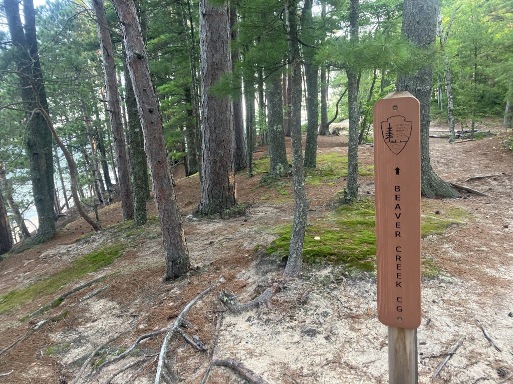
The trail was exceptionally well maintained. The tread was excellent. Water was plentiful and easy to find. And, most of all, there was very little elevation change.
Every time I walked for hours on soft, spongy, flat, wide trail, I practically quivered with joy.
My feet were SOOO happy.
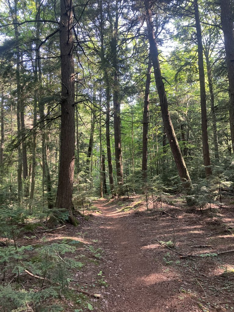
I could look around and admire the scenery instead of watching every foot placement. The miles flew by. Navigation was effortless. Everything was clearly marked, and I was so impressed with the trail signage—directional signs, mileages, even warnings about road crossings and poison ivy.
It all felt so luxurious!
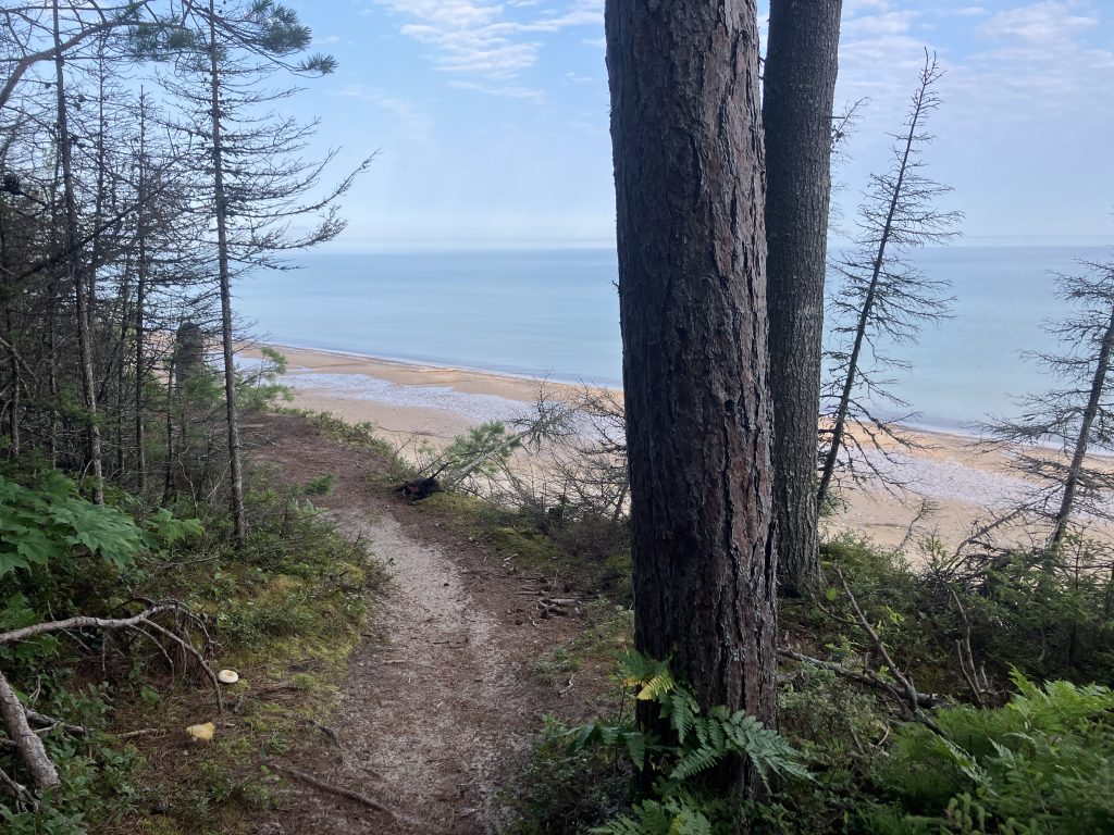
Much of the trail hugged the steep shoreline, giving me frequent views and the near-constant sound of waves lapping at the shore.

I also lucked out with perfect weather: no rain, almost no bugs, and no mud.
Crowds
The first few days didn’t feel crowded at all. Day three definitely had more day hikers, but I could always find an out-of-the-way place for a swim, so it was fine.
The campsites weren’t crowded either, usually only about half full, and the other days felt quiet.
Everyone was super nice, too. Whenever I asked people where they were from, they were Midwesterners.
So that explained it!
One Thing I Wasn’t Prepared For: The Soundscape
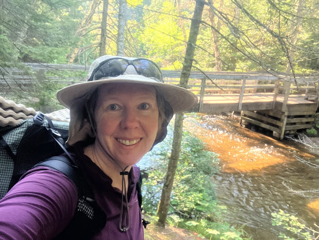
Most of the time, we read about the views, the landscapes, and the color of the water. And all of that was spectacular.
What I hadn’t been prepared for were the sounds.
The constant waves of Lake Superior. Loons calling at night. Rivers and creeks. Water crashing and splashing over rocks.
Sometimes I could just close my eyes and listen.
I live in a desert now, and I think I could have been content simply listening to a river cascading over rocks into a waterfall. Even when dense trees and brush hid the water from view, I could hear it singing down the cliffs.
Soothing and awe-inspiring.
Thanks to Paul, I had this song stuck in my head before I left! Thankfully, my Lake Superior soundscape was more natural-sounding.
Gear Notes
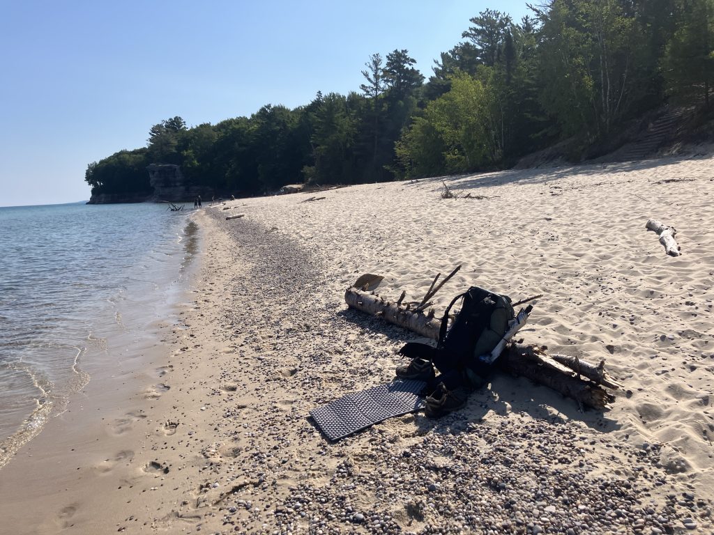
Six-section camping mat: I loved using this to relax on the beach. It doubled as a sit pad and gave me a clean place to change after swimming. For tall people, it can also supplement a short inflatable sleeping pad.
Swimming clothes: One thing I wish I’d brought was a real bikini bottom—or at least black underwear that looked like one. I felt fine swimming in my sports bra, but my underwear was the wrong color and made me self-conscious. I ended up walking farther down the beach away from people whenever I swam. Other backpackers brought dedicated swimsuits.
40-degree DIY synthetic quilt: Worked great in the humidity.
View this post on Instagram
Maps and navigation: Crazy enough, this was the first backpacking trip where I didn’t bring a paper topo map!
I had a printout of the NPS mileage chart and the printed NPS park map, which a coworker who had worked several seasons at Pictured Rocks covered with notes for me: the best swimming spots, berries to look for, lakes worth taking side trips to, and a reminder to check out the ranger-guided lighthouse tour.
I also downloaded the Gaia topo map and the Pictured Rocks information in the NPS app. The app provided details on drinking-water stations, outhouses, ranger programs, and other useful information.
For this trip, I didn’t feel like I needed anything else.
Bug suit: I sprayed all my stuff with permethrin before heading out and borrowed my parents’ bug suit. Then I got really lucky and never needed it! I encountered only a few mosquitoes in scattered areas, and they never bothered me enough to pull out the suit.
Glad you enjoyed Pictured Rocks, it’s always been one of my Michigan favorites. Isle Royale in Lake Superior is another good one that can be accessed from Michigan or Minnesota. When we want to go international we hit the Bruce Trail. We’ve hiked the section along the Georgian Bay a few times and enjoyed the rocky beaches and cliffs. Anywhere I find Thimbleberries and Raspberries I’m happy. Thanks for posting your trips out west, I always enjoy them, especially the archeology aspects.
Totally agree about thimbleberries and raspberries– I grew up picking those every summer and they taste like the best memories of my childhood.
I’d never heard of the Bruce Trail, but just now looked up photos– that looks absolutely stunning! Thanks for the tip!
Joan, If you get a chance to go to the Boundary Waters Canoe Area Wilderness, I think you will love it. I went when I was 15 (79 now) and it was one of the very best and most memorable outdoor adventures of my life. I lived in the northern suburbs of Chicago. Two of the adult leaders of the group had been there many times before with their sons, so they knew what to do. We started in the evening and drove all night to Grand Marais. We stopped at a bakery and bought fresh bread and maybe some… Read more »
David- Thanks so much for your story- quite the adventure for a young person! My parents also mentioned the Gunflint Trail– so now I definitely need to look into those access points. It sounds so different and unique. I really hope to try a canoe trip there someday.