“Ocian in view! O! The joy.”
— William Clark, November 7, 1805
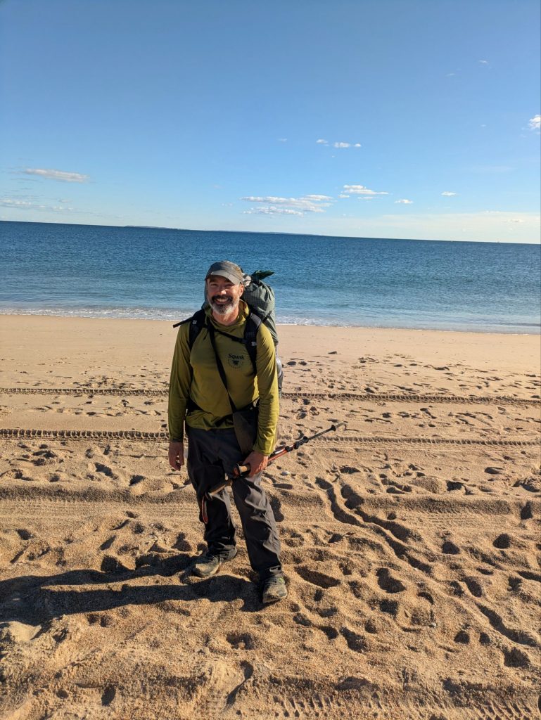
After roughly five hundred miles of backpacking, I reached the Atlantic Ocean on the coast of Rhode Island.
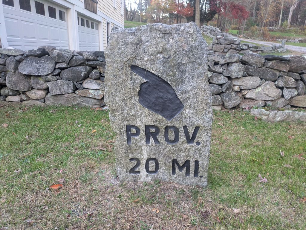
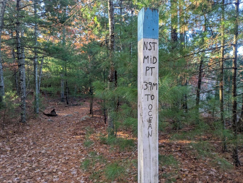
The North–South Trail winds through the quieter corners of my home state — colonial-era roads lined with stone walls, cellar holes where houses once stood, and cemeteries where Revolutionary War veterans rest along half-forgotten paths. I passed two-hundred-year-old churches and one-room schoolhouses.
It’s a landscape shaped by people, yet still full of quiet wildness.
The beach where I finished isn’t a famous one. No clam shacks, no boardwalk, no souvenir stands. Just waves, salt air, and enough stillness to think about what this long walk across New England meant.
More thoughts to come on the walk as a whole.
But for now, a few moments that stuck with me on this final stretch through the Ocean State.
Scenes from the Trail
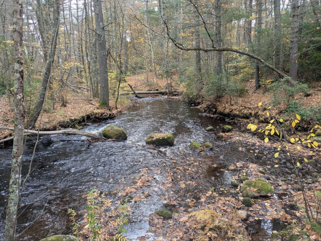
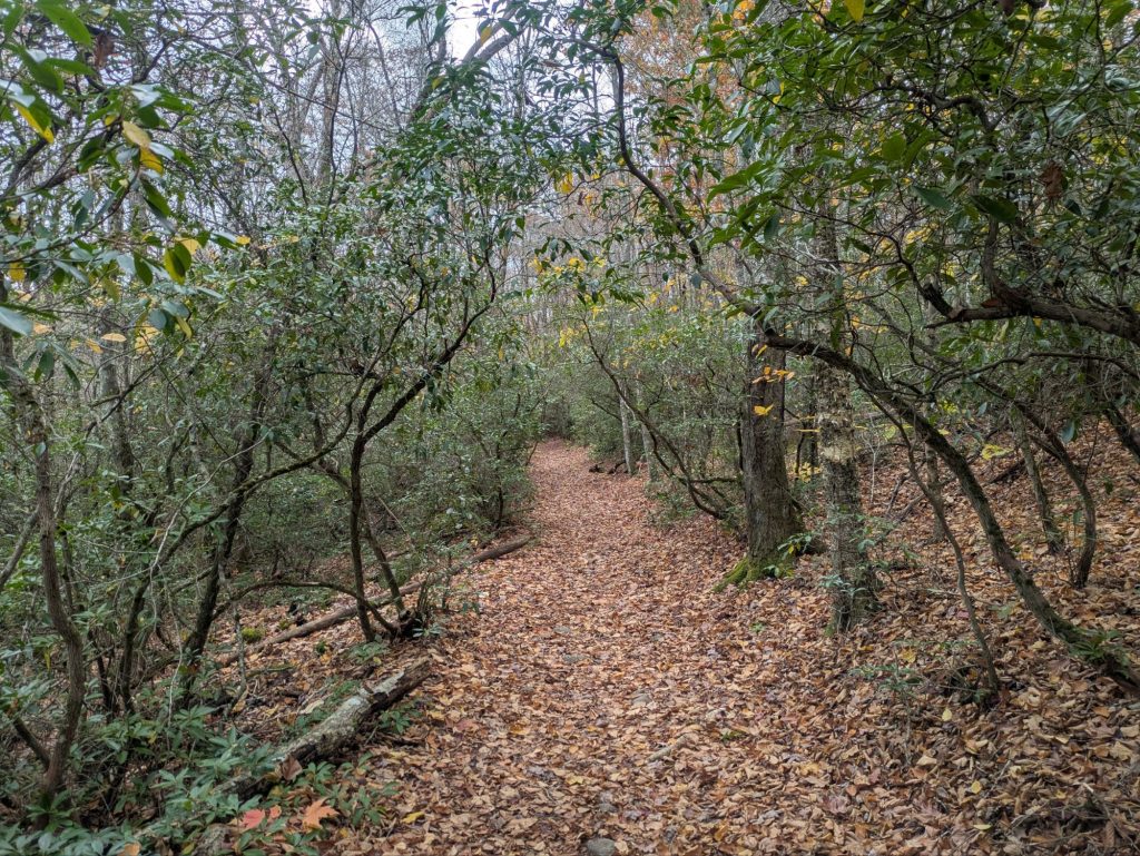
Arcadia Management Area
At over 14,000 acres, Arcadia is as big as it gets in Rhode Island — a patchwork of woods and ponds where hunters, hikers, and mountain bikers share the same space. It’s a bit of wildness in an otherwise busy place
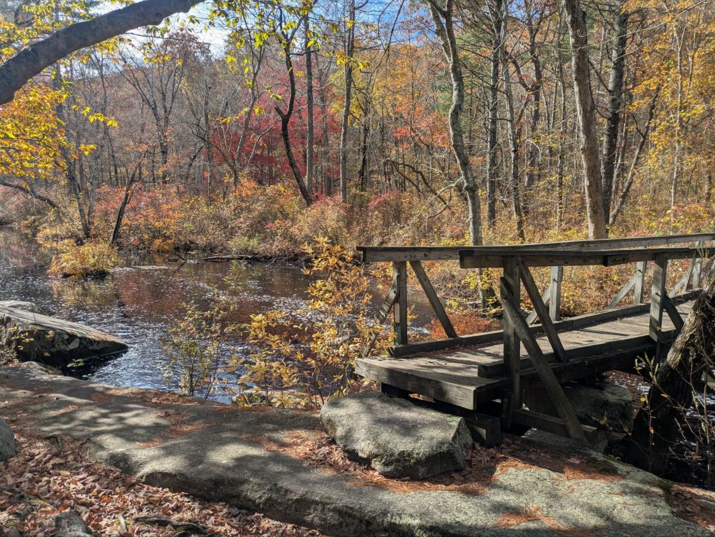
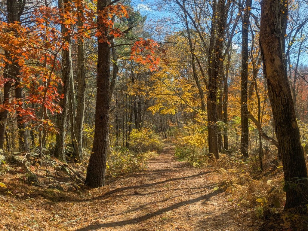
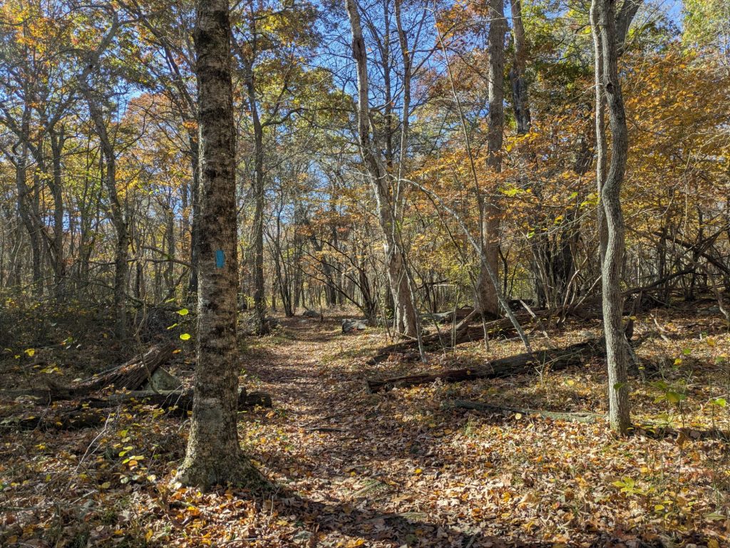
Old Roads and Brown Paths
Much of the North–South follows old byways turned de facto hiking trails. These long brown paths wind past crumbling stone walls and cellar holes that once marked farms. Every turn feels like walking through a living history exhibit, but quieter.
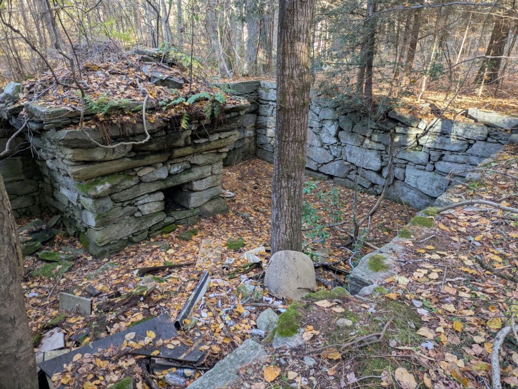
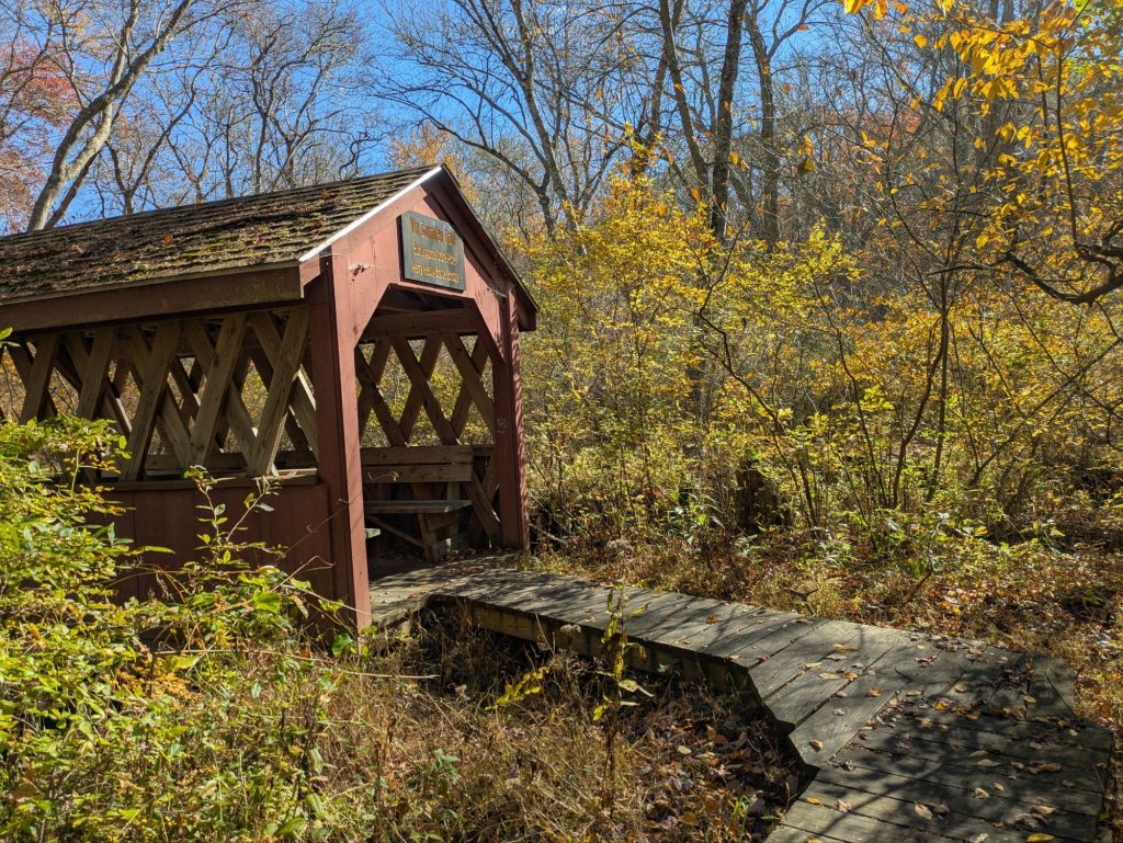
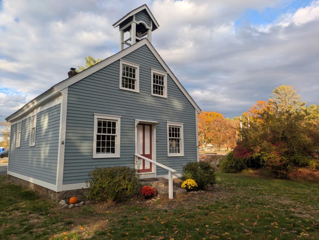
Rice City & the Old Turnpike
Near Rice City stands an 1813 church and a nearly as old schoolhouse. Just off the route is a two-hundred-year-old toll booth building, a relic of the old turnpike days when this area was busy with wagons, stage coaches, and some rather lively taverns.
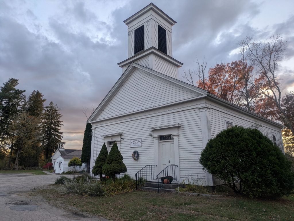
Now it’s the kind of place forgotten by even long-time Rhode Island residents
Resting Places
In tucked-away cemeteries, local veteran groups still tend graves that most people never see.
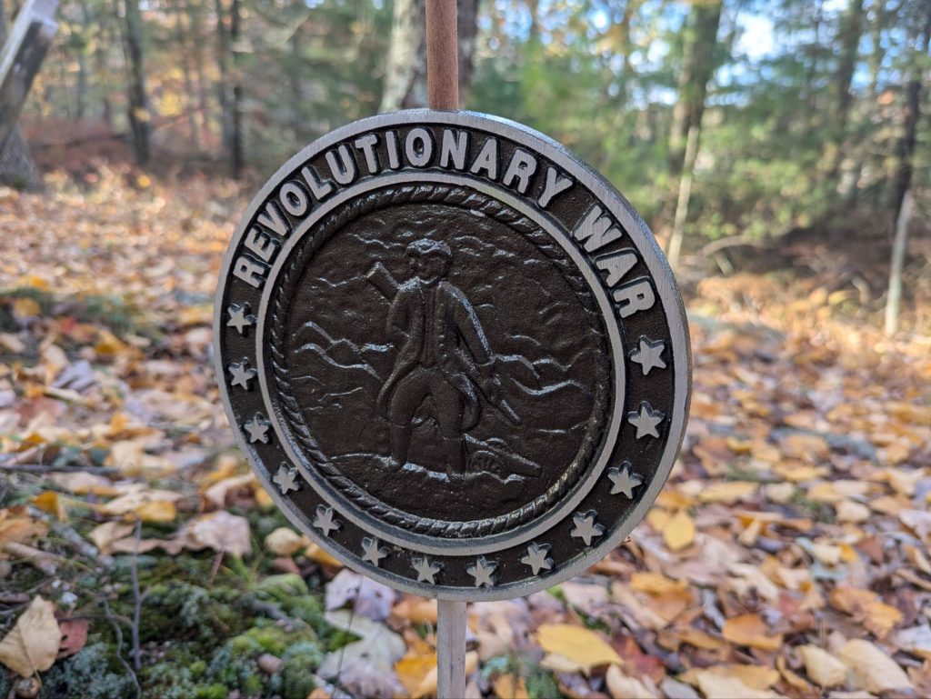
I found one marked with a Union Jack on a red field — the Colonial-era flag. The stone belonged to a veteran of the French and Indian War (1754–63), when Rhode Island was quite literally the edge of the frontier.

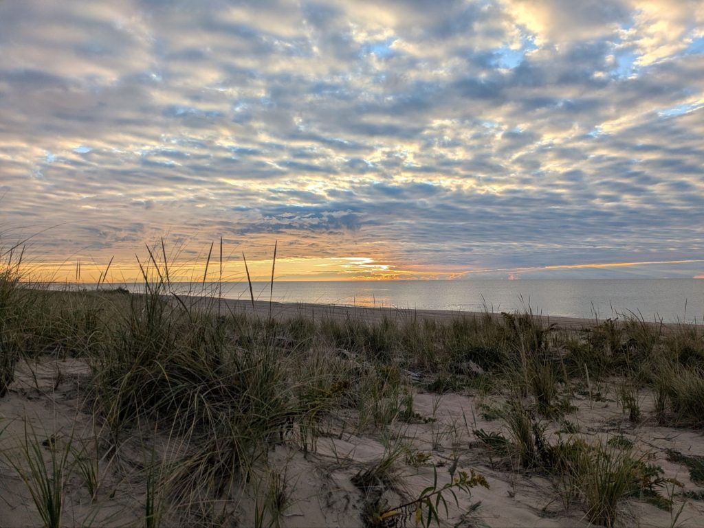
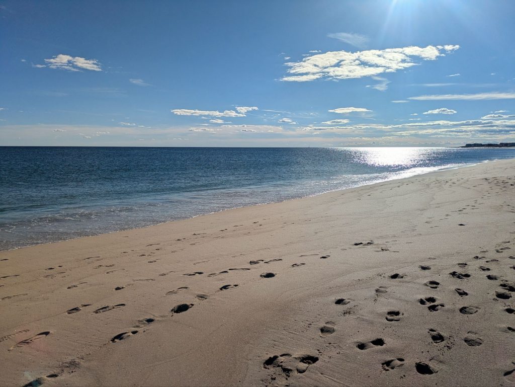
Ocean’s Edge
In the afternoon, I reached the end: Blue Shutters Beach. The late afternoon sun on the Atlantic brought that mix of salt air, contentment, and quiet exultation that only comes from finishing a long walk.
About a mile and a half before the ocean, I found the one active trail register. The contact email was a crossed-out Comcast address, marked “no longer valid.”
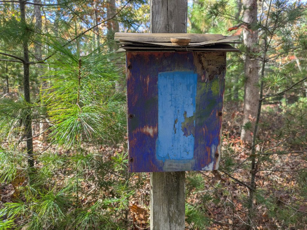
It’s beyond grassroots. More like:
“No funding. No official group. No government support. We’ll do it anyway.”
It’s the trail equivalent of a few neighbors filling potholes because RIDOT won’t, and somehow, it works.
It’s a very Rhode Island trail. You can almost hear some seventy-something guy named Sal shrug, mutter “Waddaya gonna do?” and head to the hardware store to buy blue paint because no one else will.
Meanwhile, the adjoining Mid-State Trail to the north likely hosts fundraisers and group-led hikes. This one? It just gets done, under-the-radar stubbornly, and with a bit of Rhody determination.
Overall thoughts?
Late autumn color. Colonial roads. Old churches. A sunrise on the Atlantic.
Seeing my home state on foot revealed a subtle kind of beauty ; if not the grand vistas of the American West, but something quieter. It gave me space to clear my head and reflect on the place that shaped me.
And after 500 miles from the Canadian border to the sea, that’s not a bad place to end a walk.
Thanks for taking us with you. I enjoyed your commentary and pictures. The history of the area is incredible.
Lots of history for sure. Did not appreciate it nearly enough growing up.